Stake attention in this memory
Serenity
Tranquility
Natural
Simple
Organic
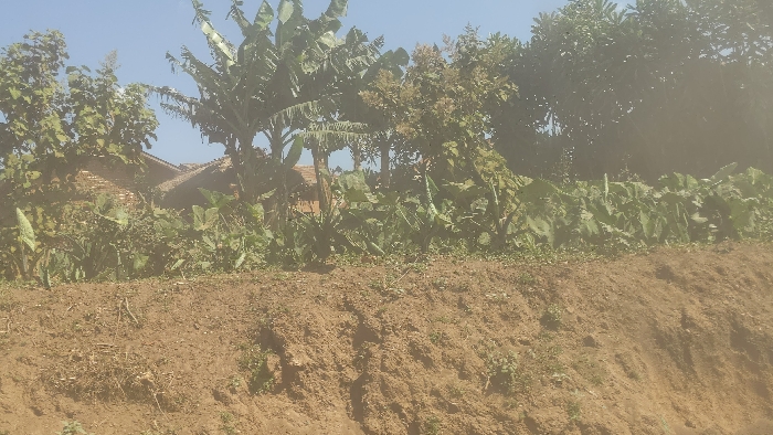
The image shows a dirt embankment in Kirumba, Democratic Republic of Congo, at coordinates -0.656 latitude and 29.183 longitude. There are trees and foliage in the background, including a banana plant, with a partially obscured brick structure visible behind the greenery. The embankment is sloping downward and covered in dry, loose dirt. The scene is deserted and appears to be in a rural, undeveloped area. There are no people or animals visible in the image.
transactions
revenues
stakers
Earliest
Latest
Highest stake
No transactions found