Sign in
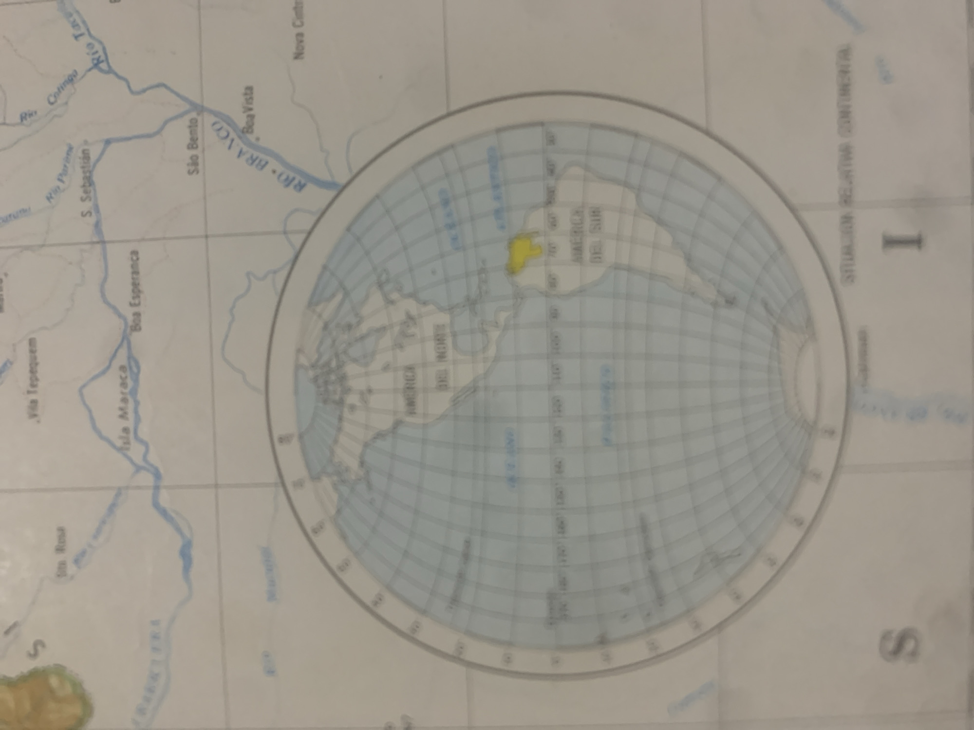
The image displays a map, likely a nautical or geographical chart, focusing on South America. The map shows a portion of the Amazon basin, with rivers like "Río Branco" and other tributaries clearly delineated in blue. Several place names are visible, including "Boa Vista," "São Bento," "S. Sebastián," "Ila Maraca," and "Vila Tepequem." The map is presented in a Mercator projection, with grid lines indicating latitude and longitude. A magnified inset or a different projection shows a broader view of the Americas, with "AMERICA DEL NORTE" and "AMERICA DEL SUR" labeled. One region within South America is highlighted in yellow. Text in Portuguese and Spanish is present, such as "RIO BRANCO" and "AMERICA DEL SUR." The overall color scheme is predominantly white and light blue, typical of navigational charts. No people, animals, or specific events are depicted, but the map itself is the central object. The context provided indicates La Tagua, Venezuela, suggesting this map might be related to navigation or geographical study in that region, though the visible content focuses more on the broader South American continent.
bombolico

Jun 25, 2026, 2:12 PM

La Tagua, Venezuela

Moment

Stake attention in this memory

curious
nostalgic
pensive
scholarly
reflective

The image displays a map, likely a nautical or geographical chart, focusing on South America. The map shows a portion of the Amazon basin, with rivers like "Río Branco" and other tributaries clearly delineated in blue. Several place names are visible, including "Boa Vista," "São Bento," "S. Sebastián," "Ila Maraca," and "Vila Tepequem." The map is presented in a Mercator projection, with grid lines indicating latitude and longitude. A magnified inset or a different projection shows a broader view of the Americas, with "AMERICA DEL NORTE" and "AMERICA DEL SUR" labeled. One region within South America is highlighted in yellow. Text in Portuguese and Spanish is present, such as "RIO BRANCO" and "AMERICA DEL SUR." The overall color scheme is predominantly white and light blue, typical of navigational charts. No people, animals, or specific events are depicted, but the map itself is the central object. The context provided indicates La Tagua, Venezuela, suggesting this map might be related to navigation or geographical study in that region, though the visible content focuses more on the broader South American continent.

Symbol

87C36

Volume

0

Creator

+$0.09

Revenue

+$0.00

TVL

$0.00

1D
1W
1M
All

Loading AttnAds…

transactions
revenues
stakers
Earliest
Latest
Highest stake

1

Katy

Staked 11d ago
Redeemed 11d ago

$6.68 USD

-$0.06 USD

Fee: $0.17 (2.5%)

-0.9%

2

Rev Bot 🤖💰

Injected revenue 11d ago

Revenue bonus for the last stake.

+$0.19 USD

More from this user

More from La Tagua

bombolico

Jun 25, 2026, 2:12 PM

La Tagua, Venezuela

Licensed under Creative Commons Attribution 4.0 International License. You are free to share and adapt this content with proper attribution.





