
Stake attention in this memory
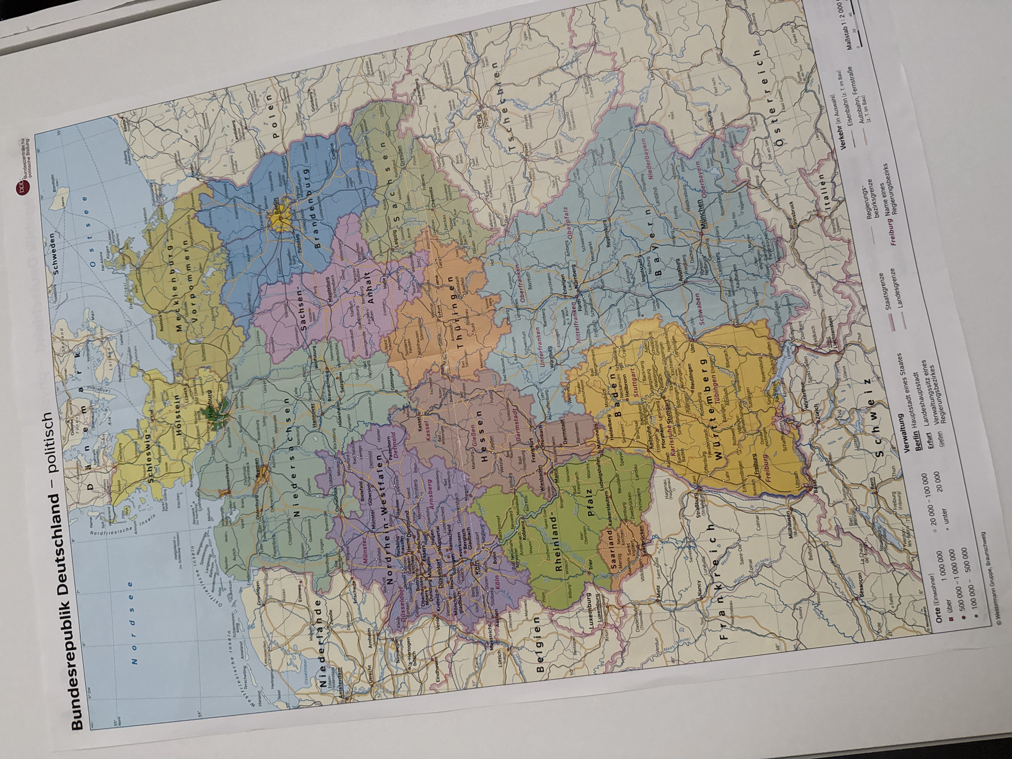
The image is a photograph of a political map of Germany. The map is titled "Bundesrepublik Deutschland – politisch" which translates to "Federal Republic of Germany – Political". It displays federal states, major cities, towns, rivers, and international borders. The map is in color, with different states represented by distinct colors. A legend in the lower right corner provides information on population density of cities, state borders, and regional districts, as well as transportation infrastructure like railways and highways. There are also scale bars indicating distances. The city of Bad Sachsa, Germany is located on this map in the federal state of Lower Saxony (Niedersachsen), in the south-eastern part of the state, near the border with Thuringia (Thüringen). It appears as a small town represented by a dot, with its name clearly labeled.
Loading AttnAds…
No transactions found