Stake attention in this memory
nostalgic
reflective
solemn
curious
somber
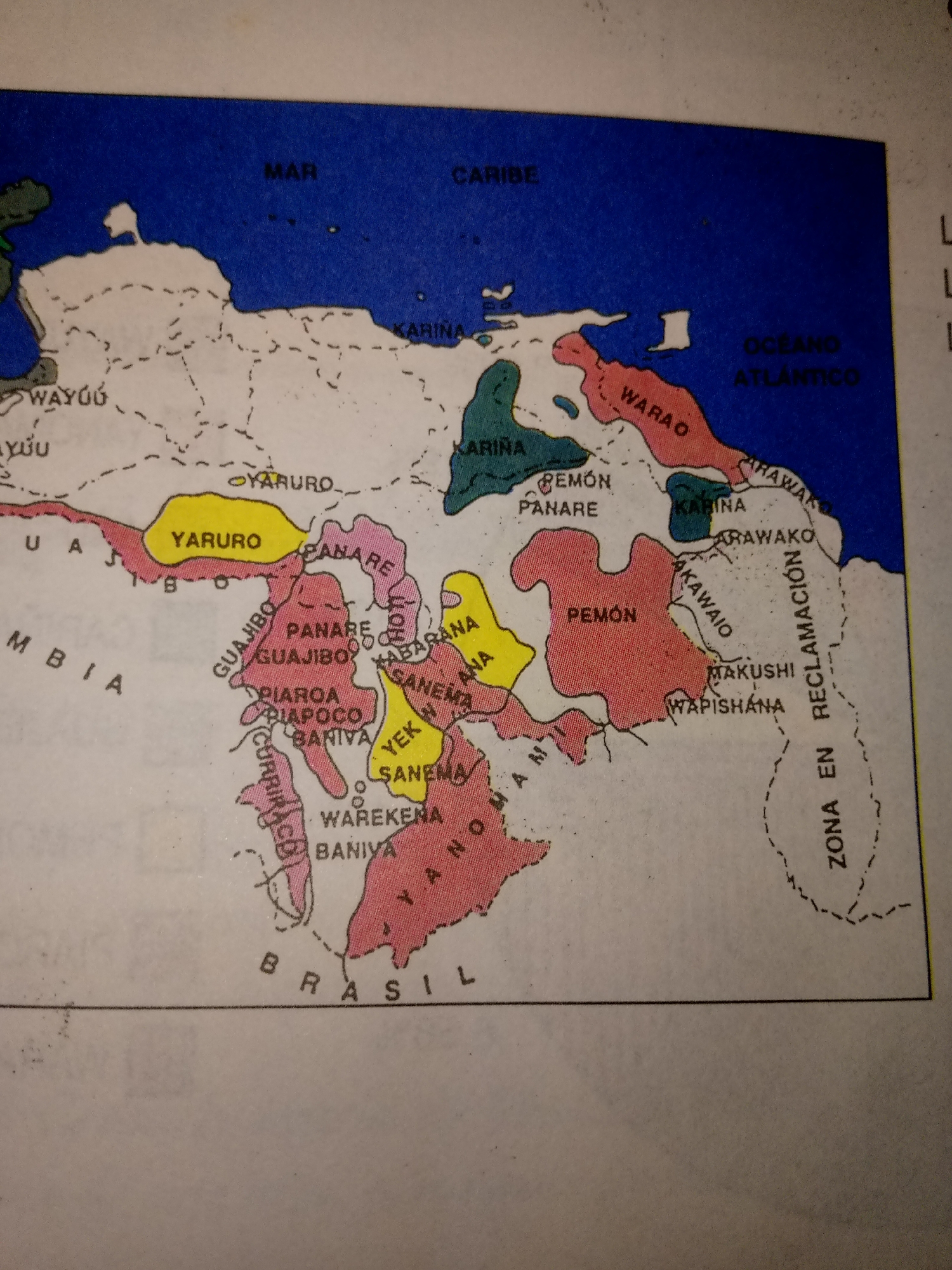
The image is a map displaying ethnic groups in Venezuela. The map uses colored regions to delineate territories, with labels for various indigenous peoples such as Wayuu, Yaruro, Panare, Pemón, Warao, and others. Geographic features like "MAR CARIBE" (Caribbean Sea) and "OCEANO ATLANTICO" (Atlantic Ocean) are indicated. The map also shows country borders, including "COLOMBIA" and "BRASIL." The text is in Spanish. There are no people or specific urban locations depicted.
transactions
revenues
stakers
Earliest
Latest
Highest stake
No transactions found