
Stake attention in this memory
nostalgic
curious
exploratory
historical
detailed
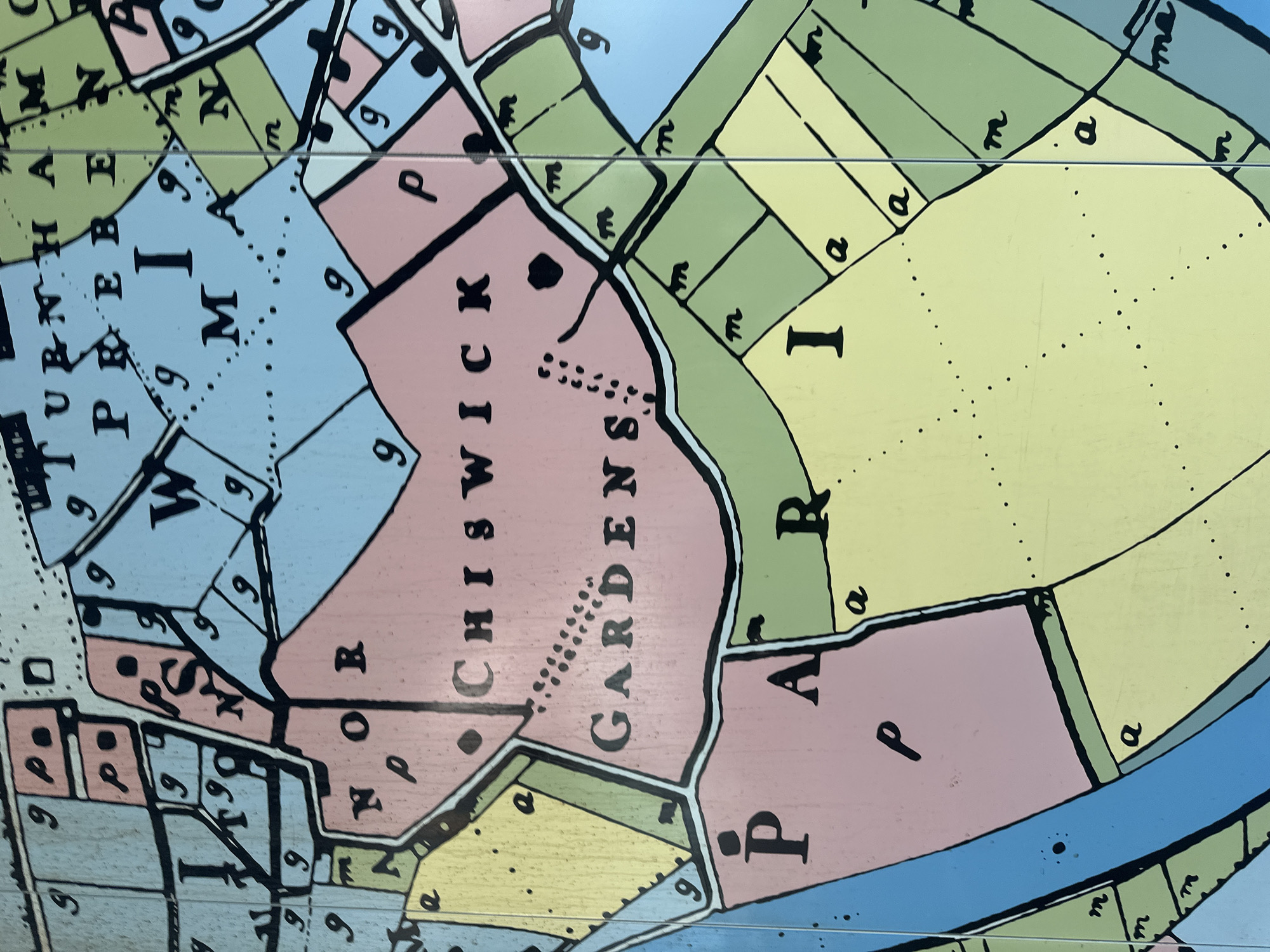
This image shows a portion of a historical map, featuring the Chiswick Gardens area of London, United Kingdom. The map utilizes color-coded sections and lettering to depict areas, potentially distinguishing between residential, park, or garden spaces. Notable areas labeled on the map include "Chiswick Gardens", "Turnham", "Prebe" and "Park". A blue area signifies a river or waterway. The map seems to be part of a larger composite, given the visible dividing lines.
Loading AttnAds…
transactions
revenues
stakers
Earliest
Latest
Highest stake
No transactions found