
Sign in
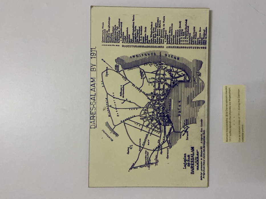
The image is a map of Dar es Salaam, Tanzania, in 1911.  The map is printed in blue ink on a cream-colored background and is surrounded by a white frame. The map depicts the city, which is surrounded by water on three sides. There are numerous roads and buildings labeled in German. There is also a key in the top right corner that lists the names and numbers of the different buildings and landmarks on the map. Below the map is a caption in Swahili, followed by a caption in English describing the map and its historical significance.
FM-hlmC83

Apr 12, 2025, 10:34 AM

Dar es Salaam, Tanzania

Stake attention in this memory

historical
nostalgic
informative
detailed
geographic

The image is a map of Dar es Salaam, Tanzania, in 1911. The map is printed in blue ink on a cream-colored background and is surrounded by a white frame. The map depicts the city, which is surrounded by water on three sides. There are numerous roads and buildings labeled in German. There is also a key in the top right corner that lists the names and numbers of the different buildings and landmarks on the map. Below the map is a caption in Swahili, followed by a caption in English describing the map and its historical significance.

Loading AttnAds…

transactions
revenues
stakers
Earliest
Latest
Highest stake

No transactions found

More from this user

More from Dar es Salaam

FM-hlmC83

Apr 12, 2025, 10:34 AM

Dar es Salaam, Tanzania

Licensed under Creative Commons Attribution 4.0 International License. You are free to share and adapt this content with proper attribution.