Stake attention in this memory
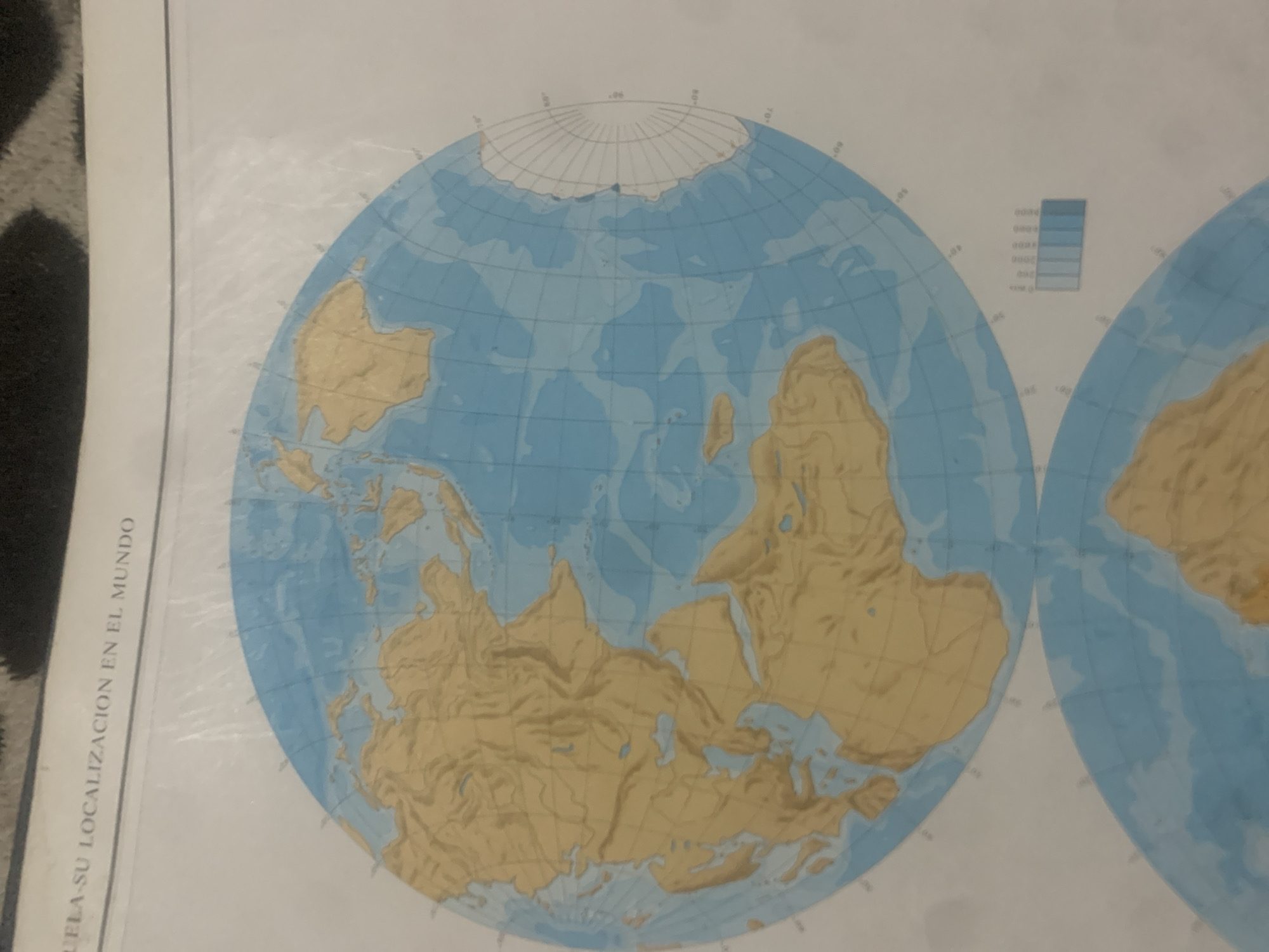
This media file is a close-up photograph of a map, likely a historical or geological map, showing a depiction of Earth's continents. The map is presented in a spherical projection, with grid lines of latitude and longitude visible. The landmasses are colored in shades of tan and brown, indicating elevation or geological features, while the oceans are blue. Antarctica is visible at the top of the map, depicted with a white ice cap. There are no people, animals, or specific activities depicted. The focus is solely on the cartographic representation of the Earth's surface. A notable detail is a legend or key in the upper right quadrant of the map, consisting of stacked colored rectangles, likely representing different ocean depths or elevations. The text "ULA-SU LOCALIZACION EN EL MUNDO" is visible vertically along the left edge of the image, written in white font against a dark background. This text appears to be a caption or title, possibly meaning "ula-su localization in the world" in Spanish. The image is well-lit, with no indication of weather or time of day, as it is a photograph of a map. The overall setting is the map itself, with the surrounding environment out of focus.
Symbol
89068
Volume
11,550
Creator
+$0.14
Revenue
+$0.21
TVL
$11.63
2
Rev Bot 🤖💰
Injected revenue 6d ago
“Revenue bonus for the last stake.”
+$0.23 USD


