Stake attention in this memory
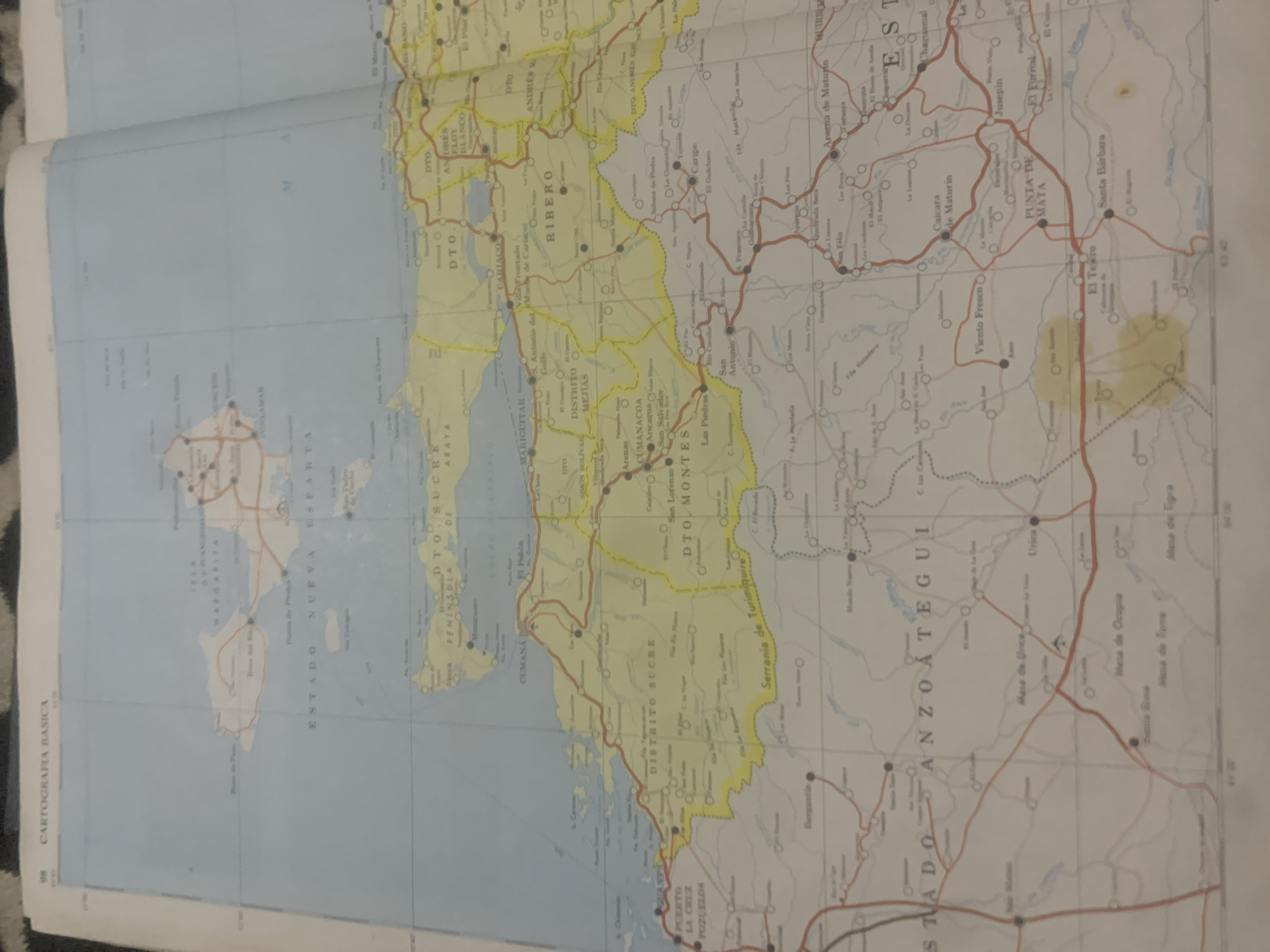
This is an image of a map of Venezuela, specifically focusing on the northeastern coastal region. The map is printed on paper and appears to be a physical map, possibly from an atlas or a standalone sheet, as indicated by the white border and the visible creases from folding. The primary subjects are geographical features and place names, with no people or objects depicted beyond cartographic elements. The map displays various regions and administrative divisions, including "ESTADO NUEVA ESPARTA," "DISTRITO SUCRE," "DISTRITO MEJIAS," "DISTRITO MONTES," and "ESTADO ANZOATEGUI." It also highlights peninsulas, bays, and cities like "CUMANA," "ARAYA," and "PUERTO LA CRUZ POZUELOS." Roads are marked with red lines, indicating a transportation network. There are also symbols representing towns and possibly other points of interest. Visible text includes numerous place names, such as "CUMANACOA," "CARIPIE," "SANTA BARBARA," and "PUNTA DE MATA," along with titles like "CARTOGRAFIA BASICA" and labels for states and districts. The map also includes grid lines and coordinates, such as "98" and "110" along the edges, suggesting it's part of a larger mapping system. A stain, possibly water damage or a spill, is visible in the lower right portion of the map. The overall scene is that of a detailed geographical reference, with no indication of a specific time of day or weather conditions, as it's a static representation of a landscape. The location context provided is La Tagua, Venezuela.
Loading AttnAds…
No transactions found





