Stake attention in this memory
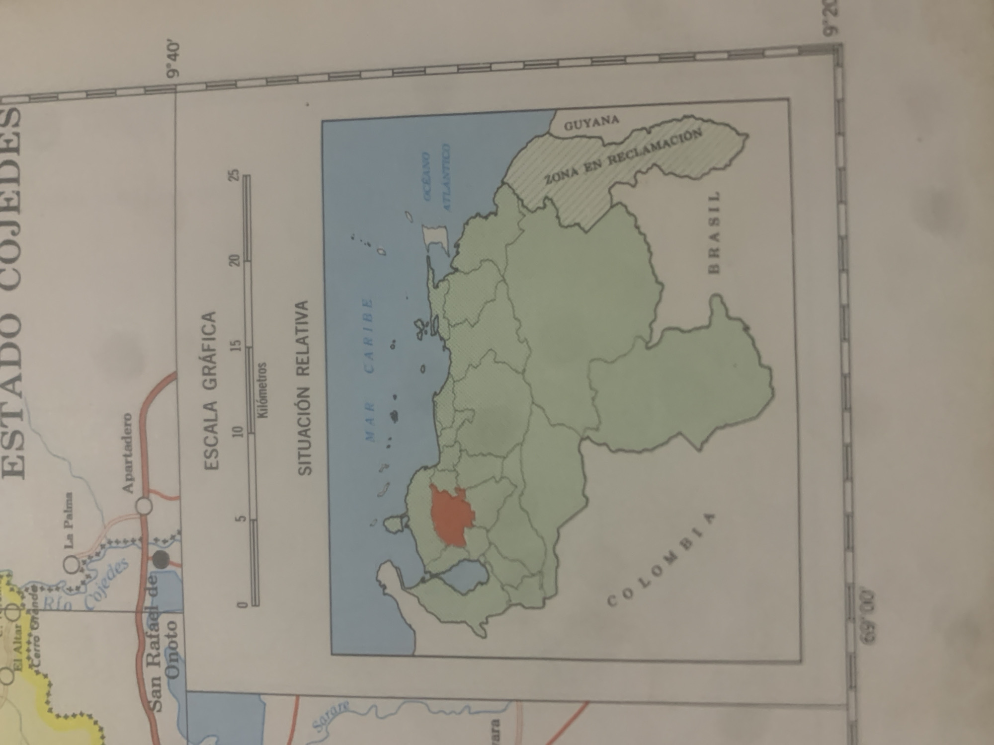
The image is a map of Venezuela, with a focus on the state of Cojedes. The top of the map displays the text "ESTADO COJEDES". A smaller inset map shows Venezuela with the state of Cojedes highlighted in red. The larger map shows geographical features such as rivers, lakes, and national borders. Place names like "San Rafael de Onoto", "La Palma", and "Apartadero" are visible, along with the "Rio Cojedes". A scale bar indicates distances in kilometers. The map also shows borders with "COLOMBIA", "BRASIL", and "GUYANA", and labels the "OCEANO ATLANTICO" and "MAR CARIBE". There are no people or specific actions depicted in this map. The location of "La Tagua" is not explicitly marked on this map.
Symbol
8943C
Volume
11,550
Creator
+$0.03
Revenue
+$0.04
TVL
$2.40
Loading AttnAds…

2

Rev Bot 🤖💰
Injected revenue 2mo ago
“Revenue bonus for the last stake.”
+$0.05 USD





