
Stake attention in this memory
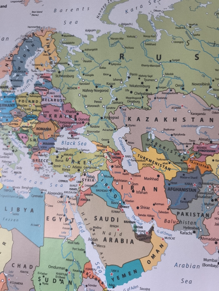
The image is a photograph of a physical political map, primarily displaying Eastern Europe, Western Asia, the Middle East, and parts of North Africa and Central Asia. Countries are delineated by distinct colors and identified by bold capital letter labels, with national borders marked by thin lines. Major cities are indicated by black dots and accompanying text, while capital cities are further distinguished by a star symbol. Prominent geographical features include the Black Sea, Caspian Sea, Red Sea, Mediterranean Sea, Baltic Sea, and various major river systems. Visible labeled countries encompass Russia, Ukraine, Belarus, Poland, Germany, Romania, Bulgaria, Greece, Turkey, Kazakhstan, Iran, Iraq, Saudi Arabia, and Egypt, among others. The city of Stara Zagora, Bulgaria, is precisely located on the map as a black dot with the text label "Stara Zagora," situated in the central-eastern region of Bulgaria, east of the capital city Sofia and northwest of the Black Sea coast.
Loading AttnAds…
No transactions found