Stake attention in this memory
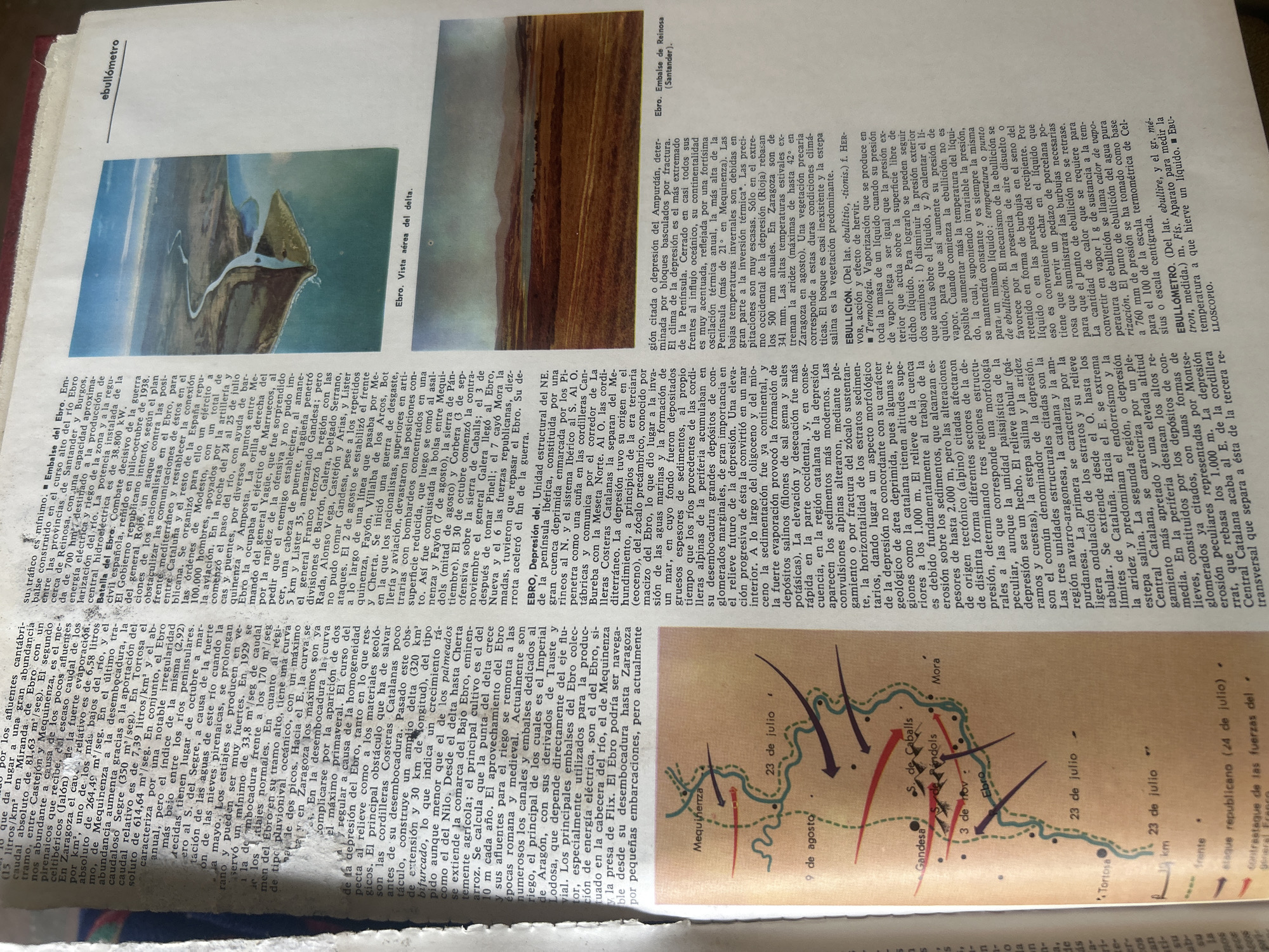
The image is a photograph of a page from a book or magazine, with a red book cover visible on the left. The page features two illustrations and several columns of text. The first illustration, located on the upper left, is a watercolor painting depicting a bird-like creature with white and blue plumage perched on a rock formation. The background is a soft blue, suggesting sky or water. Below this illustration is the caption "Ebro. Vista aérea delta." (Ebro. Aerial view delta.) The second illustration, on the lower right, is a map showing a river and surrounding terrain with colored lines indicating troop movements or battle lines. The map is dated with "9 de agosto," "23 de julio," and "3 de nov." suggesting a time frame. Notable locations marked include "Gandesa," "S. de Caballs," "Pin'dols," and "Tortosa." The river is labeled "Ebro." The text is in Spanish and discusses geographical features, historical events, and possibly meteorological data related to the Ebro river and its delta. It mentions terms like "embalse," "depresión," "terciaria," "cordilleras," and "terciario." There are also mentions of specific dates and locations, such as "Zaragoza" and "Santander." One section is marked as a definition, starting with "■ Termología." and "■ EBULLICIÓN." The overall context appears to be a geographical or historical explanation of the Ebro river region, possibly detailing aspects of its formation, climate, or events that occurred there. The photographs of the delta and the map suggest a focus on this specific area. The lighting suggests the photo was taken indoors, possibly in a room with natural light.
No transactions found