Sign in
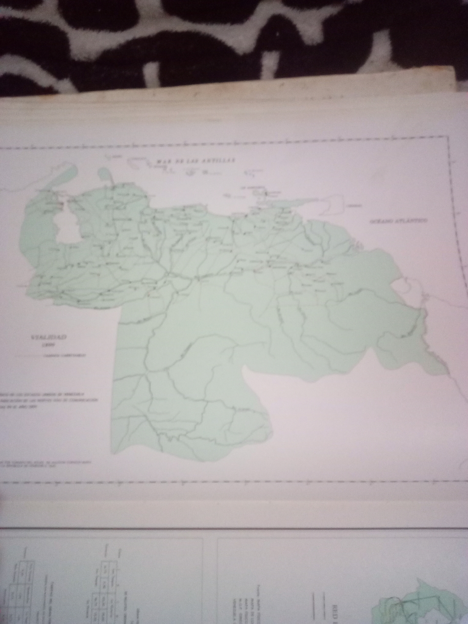
The image is a scanned or photographed map of Venezuela. The map is predominantly light green with thin black lines indicating borders, rivers, and cities. Text labels in Spanish are visible, including "MAR DE LAS ANTILLAS" (Sea of the Antilles) and "OCEANO ATLANTICO" (Atlantic Ocean). A legend labeled "Vialidad" (Roads) is also present. The map appears to be part of a larger document, with the edge of another page visible at the bottom, showing a table with columns. The overall image quality is moderate, with some blurriness and slight distortion. There is no specific detail or context provided about the city of La Tagua, Venezuela, within the visible portion of the map.
Alberto Rodríguez

Jun 10, 2026, 6:54 AM

La Tagua, Venezuela

Moment

Stake attention in this memory

Curiosity
Nostalgia
Intrigue
Wonder
Reflection

The image is a scanned or photographed map of Venezuela. The map is predominantly light green with thin black lines indicating borders, rivers, and cities. Text labels in Spanish are visible, including "MAR DE LAS ANTILLAS" (Sea of the Antilles) and "OCEANO ATLANTICO" (Atlantic Ocean). A legend labeled "Vialidad" (Roads) is also present. The map appears to be part of a larger document, with the edge of another page visible at the bottom, showing a table with columns. The overall image quality is moderate, with some blurriness and slight distortion. There is no specific detail or context provided about the city of La Tagua, Venezuela, within the visible portion of the map.

Symbol

8AE7D

Volume

11,550

Creator

+$0.03

Revenue

+$0.00

TVL

$2.82

1D
1W
1M
All

Loading AttnAds…

transactions
revenues
stakers
Earliest
Latest
Highest stake

1

yoko

Staked 29d ago

$2.85 USD

-$0.03 USD

-1%

More from this user

More from La Tagua

Alberto Rodríguez

Jun 10, 2026, 6:54 AM

La Tagua, Venezuela

Licensed under Creative Commons Attribution 4.0 International License. You are free to share and adapt this content with proper attribution.




