Stake attention in this memory
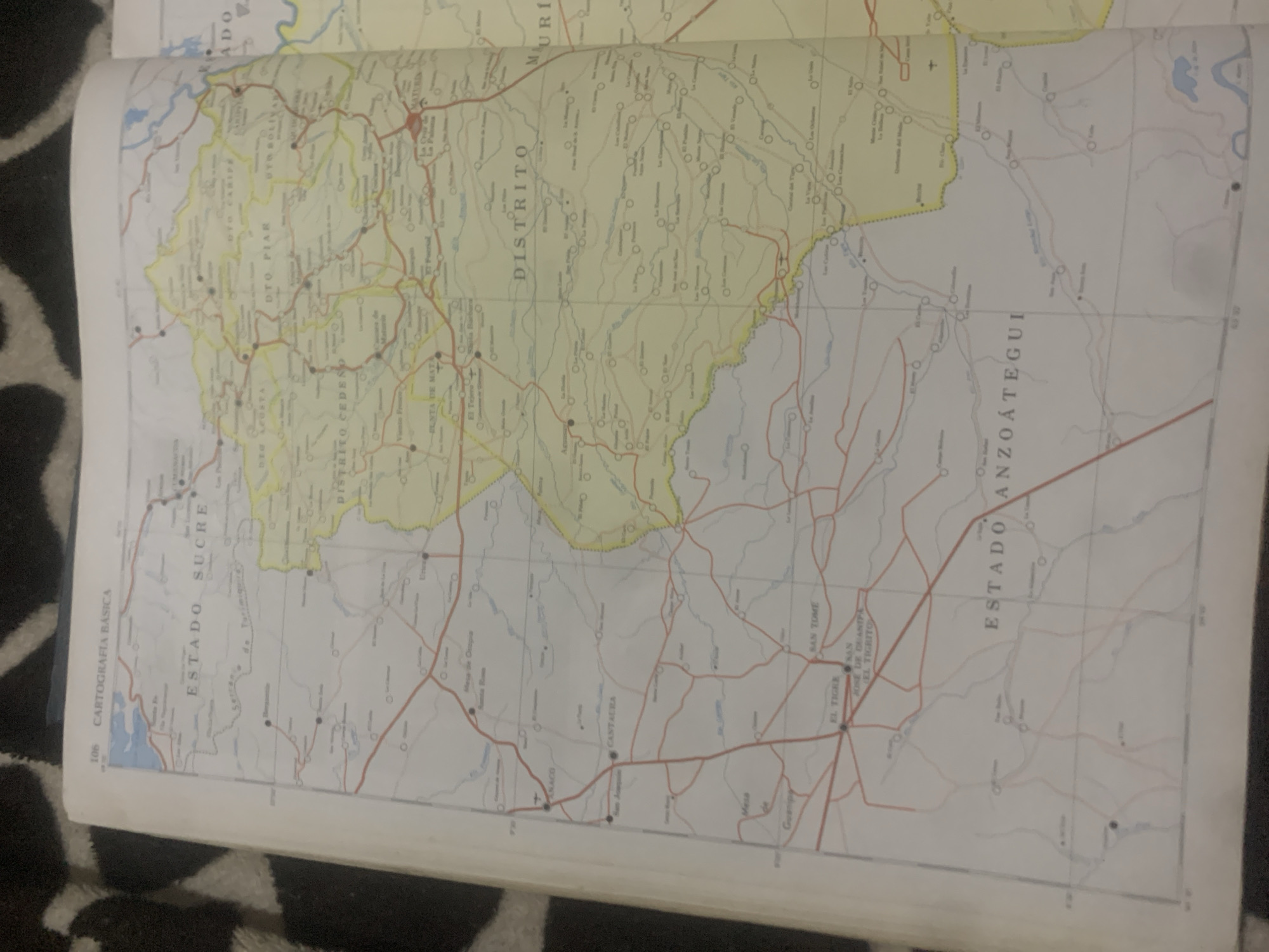
The image shows an open atlas or map book on a dark, patterned surface, likely a carpet. The map displays a section of Venezuela, with a focus on the states of Sucre and Anzoátegui, and what appears to be a district labeled "DISTRITO". Several locations are marked on the map, including "PUNTA DE MATA", "CANTAURA", "EL TIGRE", and "SAN TOME". The map is characterized by a network of roads, some in red and others in yellow, connecting various towns and geographical features. Bodies of water, such as a lake or reservoir, are depicted in blue. The map is detailed, with labels for districts, states, and towns, as well as some geographical coordinates and page numbers (e.g., "106"). The overall impression is of a detailed cartographical representation of a region in Venezuela. There are no people or specific activities depicted, as it is a static map. The lighting suggests an indoor setting, possibly with artificial light.
Symbol
8B456
Volume
11,550
Creator
+$0.02
Revenue
+$0.00
TVL
$2.36
Loading AttnAds…






