Sign in
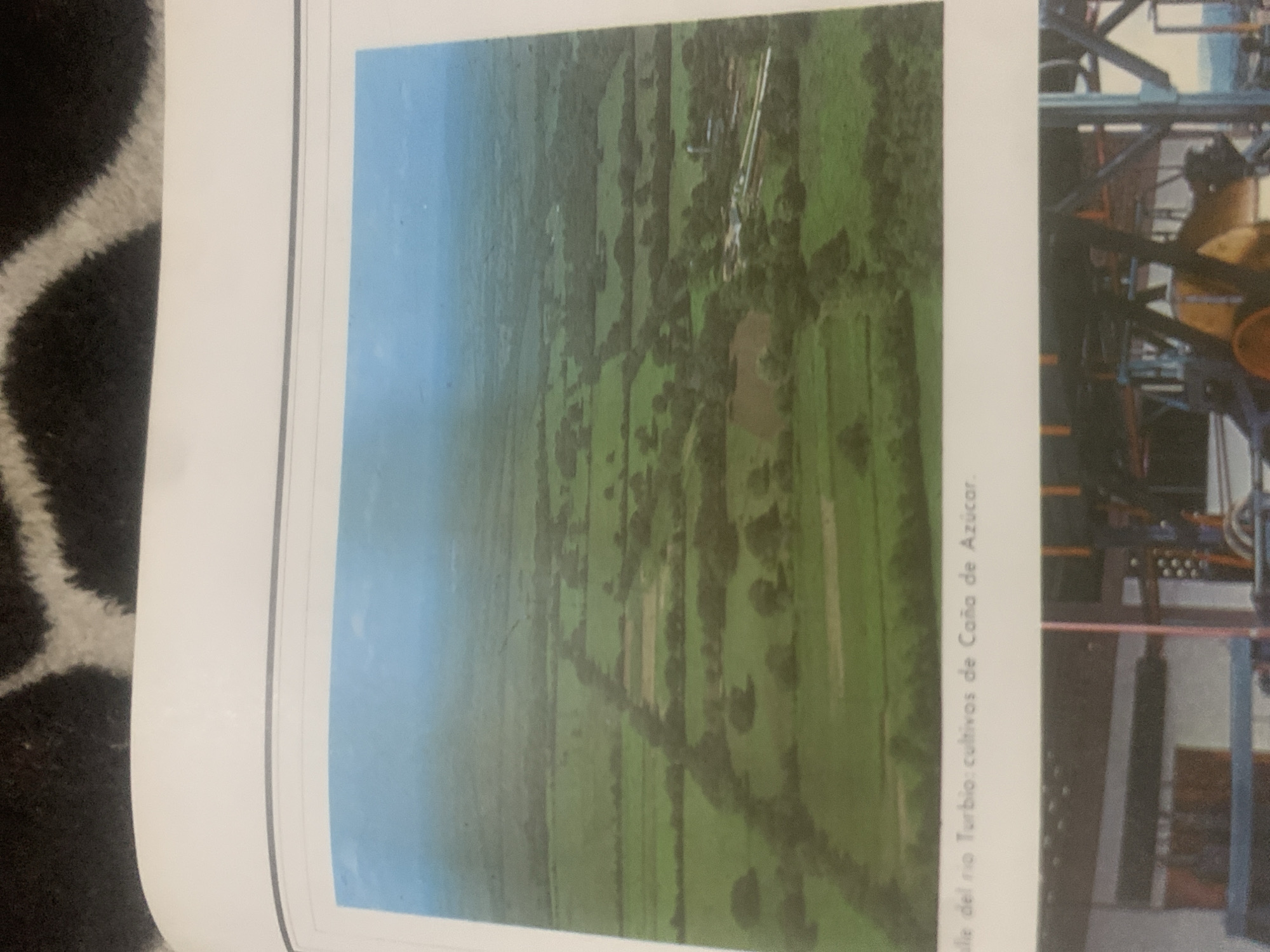
This image shows an aerial view of agricultural fields, likely sugarcane crops, in La Tagua, Venezuela. The fields are a vibrant green, interspersed with darker patches of trees or brush, and appear to be divided by rows or pathways. A small body of water is visible within the landscape. In the background, some industrial structures with white piping are present, suggesting a processing facility.

To the right of the agricultural scene, there's a glimpse of what appears to be industrial machinery, possibly part of a sugar processing plant. This machinery is complex with various metal components, pipes, and a prominent yellow cylindrical object.

The sky is a clear blue, indicating daytime with fair weather. The image is oriented such that the agricultural fields stretch towards the horizon on the left, while the industrial structures are on the right.

Visible text, oriented vertically along the right edge of the agricultural scene, reads: "líz del rio Turbio: cultivos de Caña de Azúcar." This translates to "River Turbio's Bank: Sugarcane Crops." This text explicitly confirms the location and the nature of the crops being depicted. The overall impression is one of a rural agricultural landscape integrated with industrial activity.
bombolico

Jun 25, 2026, 2:26 PM

La Tagua, Venezuela

BLOCKED

Stake attention in this memory

peaceful
serene
vast
nostalgic
calm

This image shows an aerial view of agricultural fields, likely sugarcane crops, in La Tagua, Venezuela. The fields are a vibrant green, interspersed with darker patches of trees or brush, and appear to be divided by rows or pathways. A small body of water is visible within the landscape. In the background, some industrial structures with white piping are present, suggesting a processing facility. To the right of the agricultural scene, there's a glimpse of what appears to be industrial machinery, possibly part of a sugar processing plant. This machinery is complex with various metal components, pipes, and a prominent yellow cylindrical object. The sky is a clear blue, indicating daytime with fair weather. The image is oriented such that the agricultural fields stretch towards the horizon on the left, while the industrial structures are on the right. Visible text, oriented vertically along the right edge of the agricultural scene, reads: "líz del rio Turbio: cultivos de Caña de Azúcar." This translates to "River Turbio's Bank: Sugarcane Crops." This text explicitly confirms the location and the nature of the crops being depicted. The overall impression is one of a rural agricultural landscape integrated with industrial activity.

Symbol

8BDD8

Volume

0

Creator

+$0.09

Revenue

+$0.00

TVL

$0.00

1D
1W
1M
All

Loading AttnAds…

transactions
revenues
stakers
Earliest
Latest
Highest stake

1

Katy

Staked 10d ago
Redeemed 4d ago

$7.22 USD

+$0.08 USD

Fee: $0.02 (0.25%)

+1%

2

Rev Bot 🤖💰

Injected revenue 10d ago

Revenue bonus for the last stake.

+$0.19 USD

More from this user

More from La Tagua

bombolico

Jun 25, 2026, 2:26 PM

La Tagua, Venezuela

Licensed under Creative Commons Attribution 4.0 International License. You are free to share and adapt this content with proper attribution.





