Stake attention in this memory
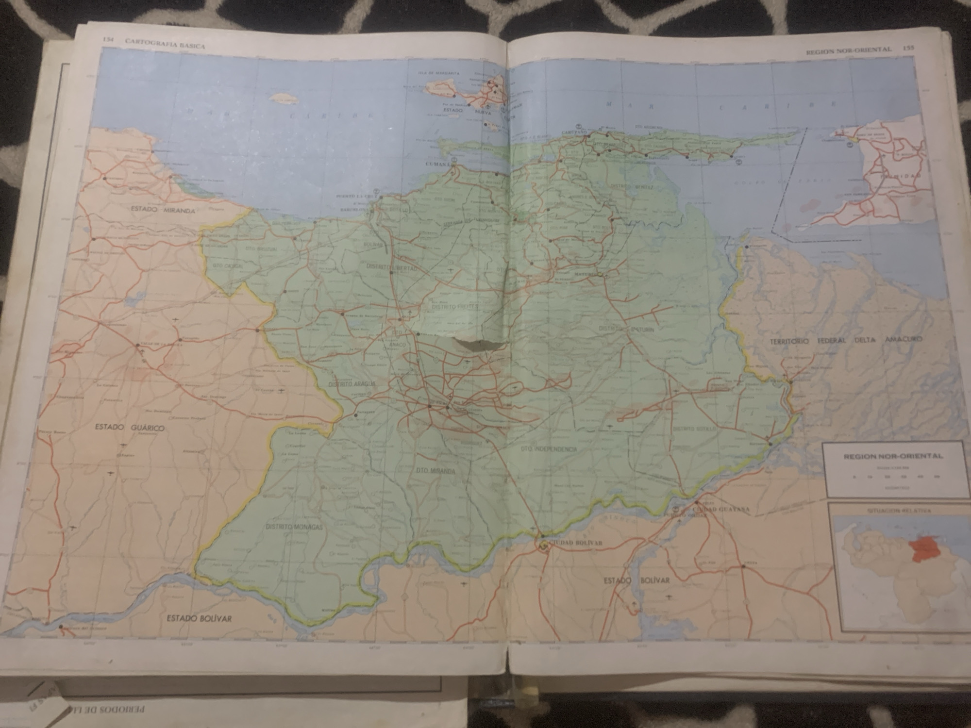
The media file is a photograph of an open map book, specifically showing a spread with page numbers 154 and 155. The map displays a region of Venezuela, with various states and districts labeled, including "ESTADO MIRANDA," "ESTADO GUÁRICO," "ESTADO BOLÍVAR," "DISTRITO MONAGAS," and "TERRITORIO FEDERAL DELTA AMACURO." Coastal areas and islands like "ISLA DE MARGARITA" are visible. Several cities and towns are marked, such as "PUERTO LA CRUZ," "CUMANÁ," "MATURECA," "ANACO," "CIUDAD BOLÍVAR," and "CIUDAD GUAYASA." Road networks are depicted as red lines, and water bodies are shown in blue. In the top right corner, there is a title box for "REGION NOR-ORIENTAL" with a scale bar. Below this, another box contains "SITUACIÓN RELATIVA" with a small inset map of Venezuela highlighting the depicted region in red. The page also includes the title "CARTOGRAFIA BASICA" at the top left. The map appears to be printed on paper and is laid open on a surface with a dark and white patterned texture, possibly a rug or fabric. The lighting suggests an indoor environment, and there are no people visible in the photograph. The overall scene is static, focusing solely on the map details and its presentation within the book. The text is in Spanish.
Symbol
8C0D5
Volume
11,550
Creator
+$0.13
Revenue
+$0.19
TVL
$11.30
2
Rev Bot 🤖💰
Injected revenue 6d ago
“Revenue bonus for the last stake.”
+$0.21 USD