
Stake attention in this memory
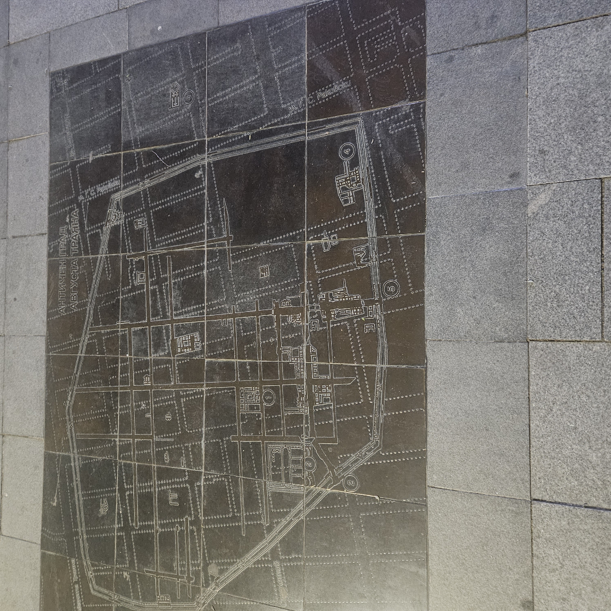
A dark, polished stone slab, possibly granite, displaying an engraved map of an ancient city, is embedded into a lighter grey granite pavement. The map, visible from an overhead perspective, details the layout of a historical urban area. It features a prominent outer wall enclosing a grid-like street plan and numerous outlines of ancient buildings and structures. Several areas on the map are marked with numbers, specifically 1, 2, 4, 5, 6, and 10, likely indicating points of interest or significant archaeological sites. The engraved lines are light against the dark surface, creating a clear contrast. The slab appears somewhat worn and reflective, suggesting its placement in a public space. Visible text on the map includes "АНТИЧЕН ГРАД АВГУСТА ТРАЯНА," which translates to "Ancient City Augusta Trajana." This identifies the depicted city as the Roman city of Augusta Trajana, which is historically significant to Stara Zagora, Bulgaria. Additionally, the text "УЛ. Т. С. Раковски" (ul. T. S. Rakovski), referring to "Street T. S. Rakovski," appears multiple times, indicating modern street names overlaid or adjacent to the ancient plan. A fragment "олетов" is also visible, likely part of another street name. The surrounding pavement consists of rectangular, textured grey granite tiles, providing a subtle contrast to the smooth, dark map surface. The image captures the map during daytime, with soft lighting. No people are visible. The overall scene suggests an outdoor historical exhibit or informational marker.
Loading AttnAds…
No transactions found