Stake attention in this memory
curiosity
adventure
exploration
wonder
discovery
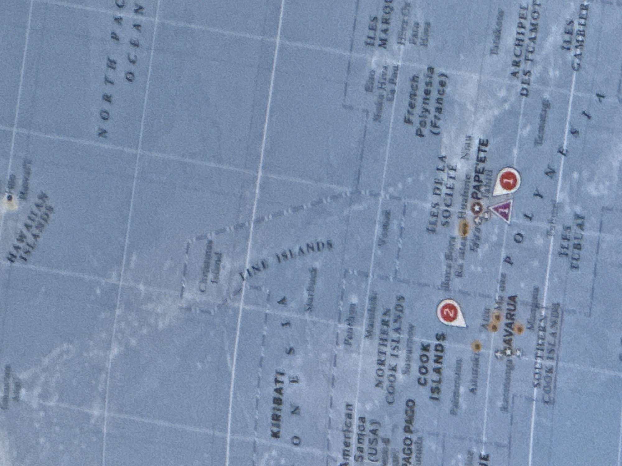
The image is a close-up view of a world map, focusing on a section of the Pacific Ocean. Visible labels include "HAWAIIAN ISLANDS", "NORTH PACIFIC OCEAN", "KIRIBATI", "COOK ISLANDS", "FRENCH POLYNESIA (FRANCE)", and "ARCHIPEL DES TUAMOTU". There are also markers with numbers "1" and "2" indicating specific locations. The map has a blue color scheme, representing water, with faint grid lines indicating latitude and longitude. There are no people, objects, or actions depicted outside of the map itself. The city of Oeiras, Portugal is not visible or indicated in this image.
transactions
revenues
stakers
Earliest
Latest
Highest stake
No transactions found