Stake attention in this memory
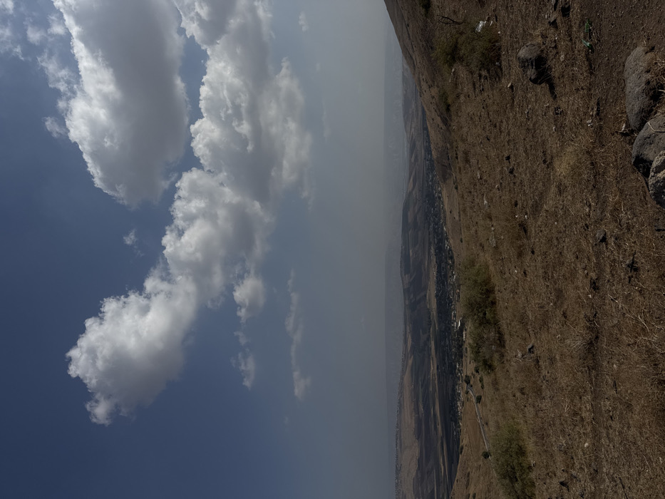
The image displays an expansive, elevated landscape view within the Galil Tachton Regional Council, Israel. The upper portion of the frame features a blue sky dotted with scattered cumulus clouds, presenting varied shades of white and grey. The foreground consists of a sloping, arid hillside covered predominantly with parched golden-brown and light brown grasses, dry earth, and scattered dark grey rocks. Sparse, low-lying green-brown shrubs are visible across this dry terrain. No individuals, animals, or active subjects are present. In the midground, the land descends into a wide valley. A narrow, dark-colored road is visible winding through the mid-left section of the landscape. A compact settlement or community, characterized by clusters of dark-roofed structures, is situated within the valley. The background shows successive layers of distant mountains and hills receding into a pale, bluish atmospheric haze, extending to the horizon.
No transactions found