Stake attention in this memory
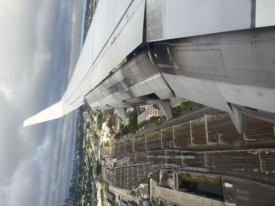
This image presents an aerial view from an airplane window, capturing a dense urban landscape below during what appears to be a takeoff or landing. A significant portion of the aircraft's white wing dominates the upper and right side of the frame, extending from the viewer's right towards the left. The wing shows operational wear and tear, and its leading-edge slats and trailing-edge flaps are visibly extended, a configuration used for low-speed flight maneuvers such as ascent or descent. The underside of the engine nacelle is partially visible beneath the wing's root. Below the wing, the ground reveals a bustling cityscape, characterized by a multitude of buildings, roads, and pockets of greenery. A prominent feature is an extensive network of railway tracks, running diagonally across the mid-ground. These tracks, equipped with overhead electrification gantries and power lines, suggest a major railway junction or transport corridor, consistent with the location context of Sydenham, Australia, which is a key rail hub near Sydney Airport. The complex layout of the tracks implies a high volume of rail traffic. The sky in the background is heavily overcast with layers of grey clouds, indicating a cloudy or gloomy day, though ground visibility is clear. No specific time of day beyond daylight can be determined, and there are no identifiable people or visible text within the image. The scene offers a unique perspective on the intersection of air and ground transportation infrastructure.
No transactions found
More from this user


More from Sydenham