Sign in
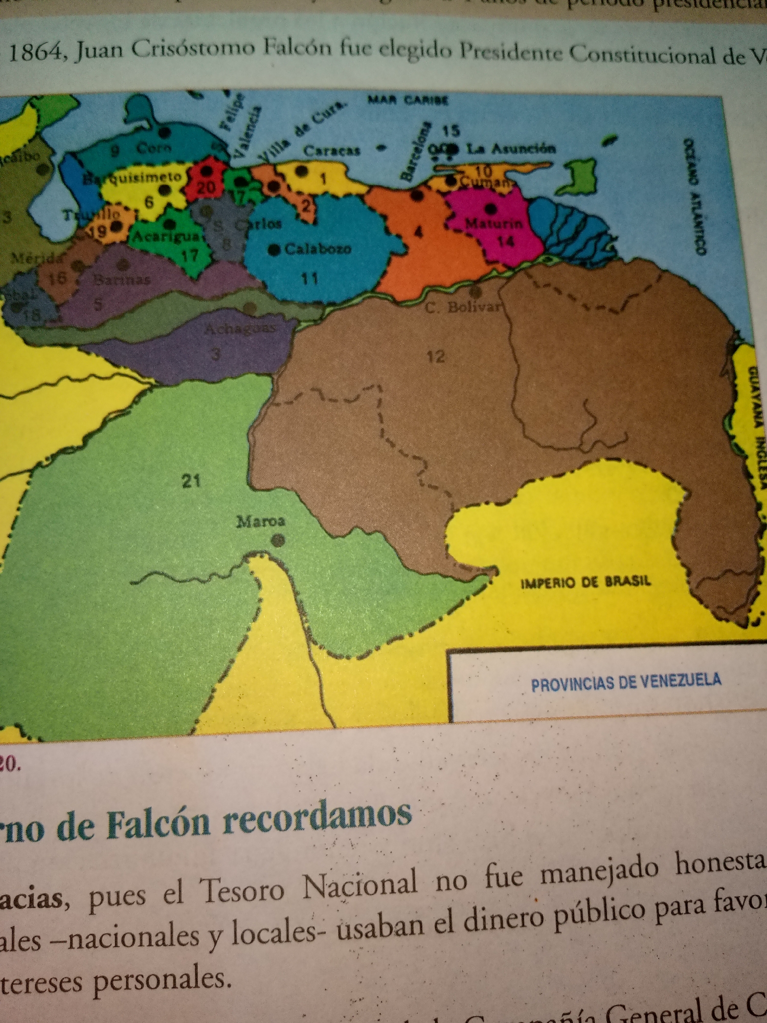
The image is a close-up of a map and text, likely from a history book. The map displays a portion of Venezuela, with various regions and cities labeled. Cities like Caracas, Barcelona, Cumana, Maracaibo, Mérida, and Ciudad Bolívar are visible. The map also shows borders of provinces and surrounding bodies of water, including the Caribbean Sea and the Atlantic Ocean. Text below the map mentions "Gobierno de Falcón recordamos" (We remember the Government of Falcón) and discusses the mismanagement of public funds. There are no people or specific actions depicted in the image, only geographical and textual information. The city of Guayacán is not explicitly labeled or highlighted in the provided image.
FM-COnal1

Jul 1, 2026, 1:22 AM

Guayacán, Venezuela

Stake attention in this memory

historical
educational
informative
geographical
illustrated

The image is a close-up of a map and text, likely from a history book. The map displays a portion of Venezuela, with various regions and cities labeled. Cities like Caracas, Barcelona, Cumana, Maracaibo, Mérida, and Ciudad Bolívar are visible. The map also shows borders of provinces and surrounding bodies of water, including the Caribbean Sea and the Atlantic Ocean. Text below the map mentions "Gobierno de Falcón recordamos" (We remember the Government of Falcón) and discusses the mismanagement of public funds. There are no people or specific actions depicted in the image, only geographical and textual information. The city of Guayacán is not explicitly labeled or highlighted in the provided image.

Loading AttnAds…

transactions
revenues
stakers
Earliest
Latest
Highest stake

No transactions found

More from this user

More from Guayacán

FM-COnal1

Jul 1, 2026, 1:22 AM

Guayacán, Venezuela

Licensed under Creative Commons Attribution 4.0 International License. You are free to share and adapt this content with proper attribution.