Sign in
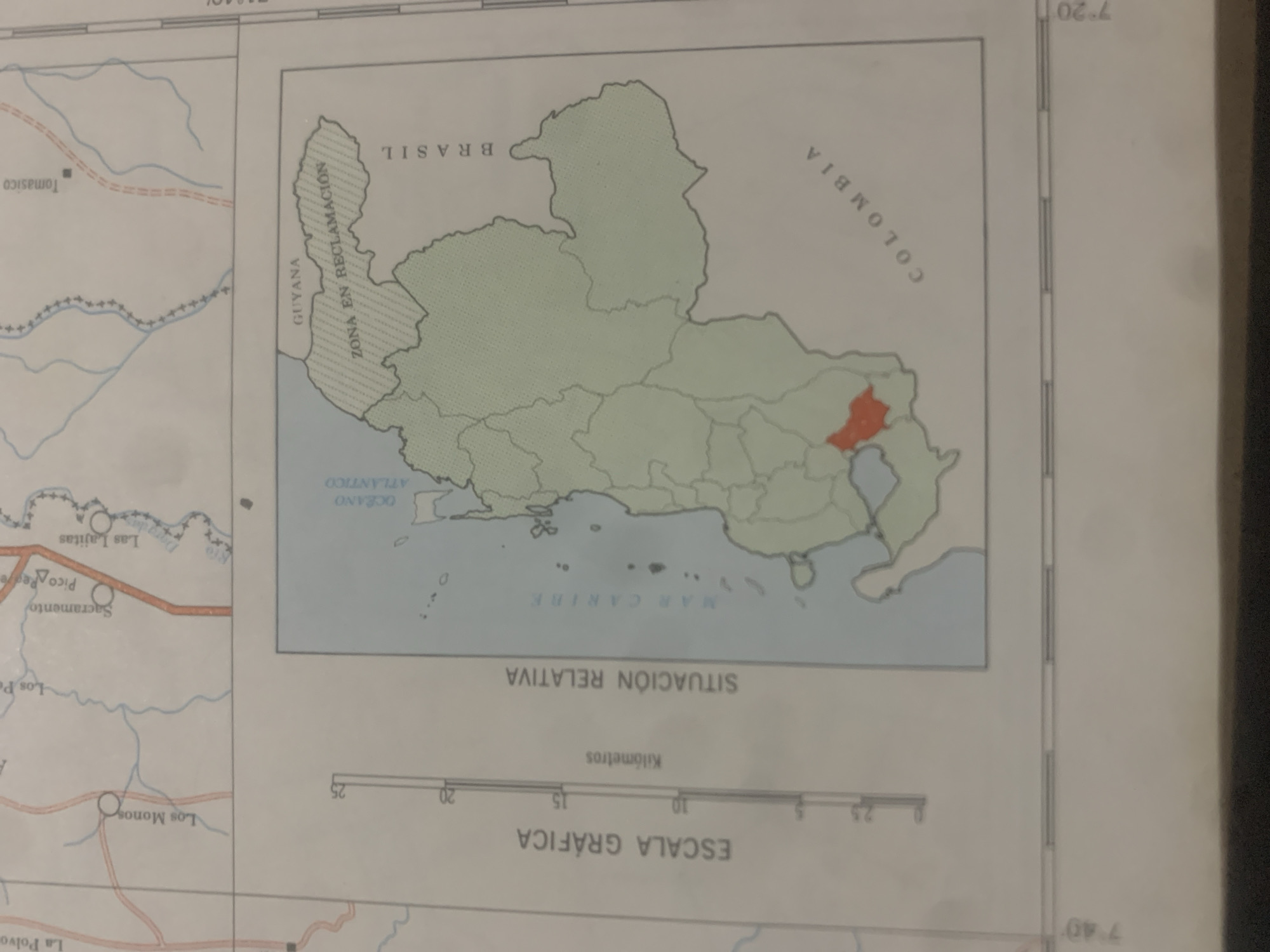
This is a close-up, angled photograph of a map showing a geographical area. The map is primarily colored in shades of green and blue, with some outlines and borders in black and red. It depicts a region with distinct country boundaries, rivers, bodies of water, and what appear to be populated areas or points of interest marked with circles and triangles.

The central focus of the map is a large landmass divided into several regions, with one specific area highlighted in red. The surrounding text, primarily in Spanish, identifies the larger geopolitical entities as "BRASIL," "COLOMBIA," and "GUYANA." There's also text indicating "ZONA EN RECLAMACIÓN" (Zone in Reclamation) and "OCÉANO ATLÁNTICO" (Atlantic Ocean) and "MAR CARIBE" (Caribbean Sea).

Below the main map, there is a graphic scale labeled "ESCALA GRÁFICA" (Graphic Scale) with markings for kilometers, indicating distances. Some place names are visible on the left side of the map, including "Tomasico," "Las Lajitas," "Sacramento," "Pico Peare," "Los Personas," and "Los Monos."

The overall impression is that of a cartographic document detailing a specific geographical and possibly political situation, with a focus on a disputed or claimed territory. The lighting suggests it might be an indoor setting, perhaps a library or office, where the map is being viewed or photographed. There are no people or overt actions depicted, just the static representation of geographical data.
bombolico

Jun 25, 2026, 2:30 PM

La Tagua, Venezuela

Stake attention in this memory

curiosity
informative
geopolitical
analytical
detailed

This is a close-up, angled photograph of a map showing a geographical area. The map is primarily colored in shades of green and blue, with some outlines and borders in black and red. It depicts a region with distinct country boundaries, rivers, bodies of water, and what appear to be populated areas or points of interest marked with circles and triangles. The central focus of the map is a large landmass divided into several regions, with one specific area highlighted in red. The surrounding text, primarily in Spanish, identifies the larger geopolitical entities as "BRASIL," "COLOMBIA," and "GUYANA." There's also text indicating "ZONA EN RECLAMACIÓN" (Zone in Reclamation) and "OCÉANO ATLÁNTICO" (Atlantic Ocean) and "MAR CARIBE" (Caribbean Sea). Below the main map, there is a graphic scale labeled "ESCALA GRÁFICA" (Graphic Scale) with markings for kilometers, indicating distances. Some place names are visible on the left side of the map, including "Tomasico," "Las Lajitas," "Sacramento," "Pico Peare," "Los Personas," and "Los Monos." The overall impression is that of a cartographic document detailing a specific geographical and possibly political situation, with a focus on a disputed or claimed territory. The lighting suggests it might be an indoor setting, perhaps a library or office, where the map is being viewed or photographed. There are no people or overt actions depicted, just the static representation of geographical data.

Loading AttnAds…

transactions
revenues
stakers
Earliest
Latest
Highest stake

No transactions found

More from this user

More from La Tagua

bombolico

Jun 25, 2026, 2:30 PM

La Tagua, Venezuela

Licensed under Creative Commons Attribution 4.0 International License. You are free to share and adapt this content with proper attribution.



