
Stake attention in this memory
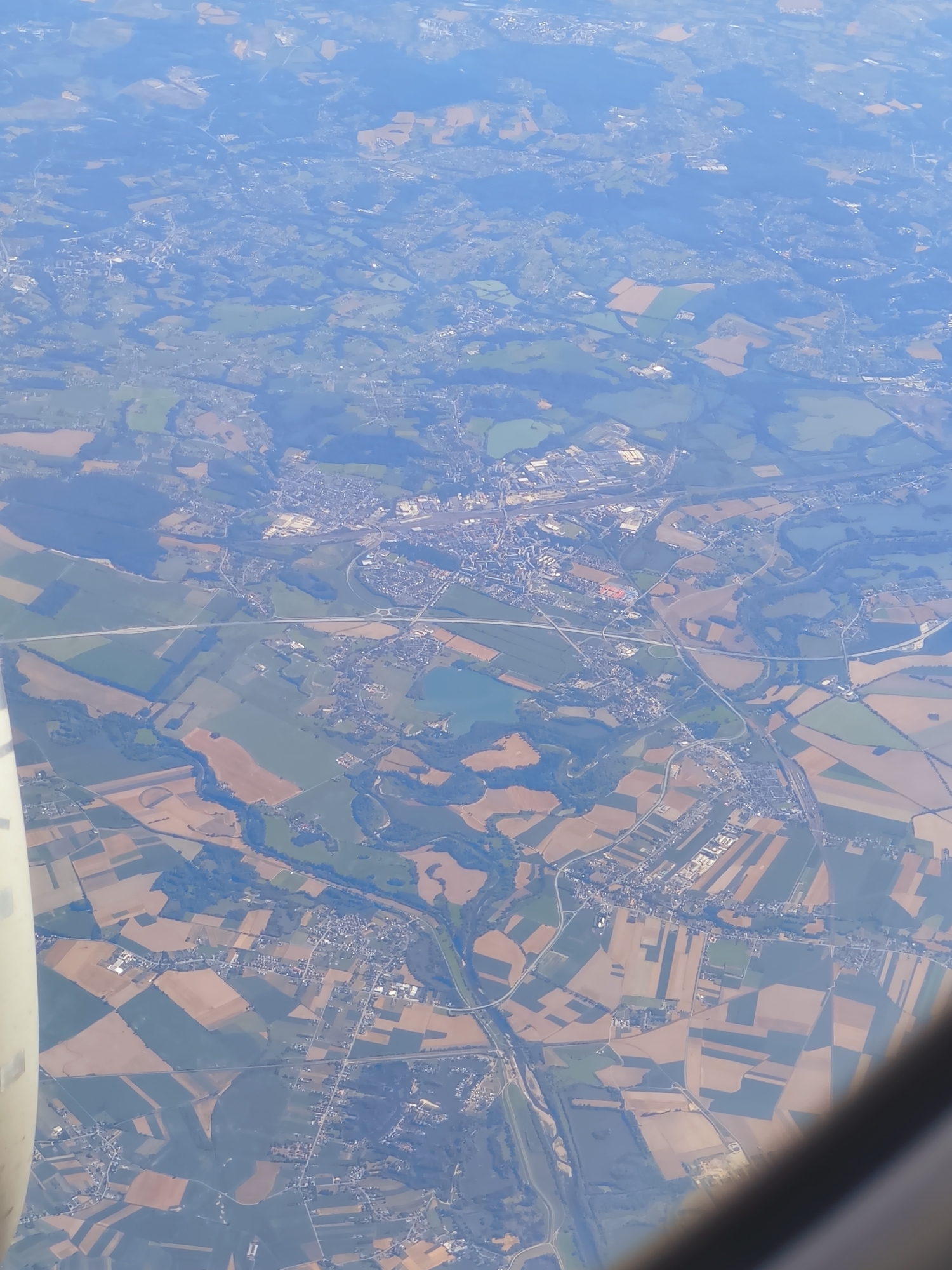
This image is an aerial view of a rural landscape, possibly taken from an airplane window. The scene is characterized by a patchwork of agricultural fields in various shades of green and brown, interspersed with clusters of buildings and roads. A prominent road with multiple lanes and interchanges runs through the center of the image. The terrain appears gently rolling, with some areas of darker green suggesting wooded regions. The sky is visible at the top, with some hazy clouds. Part of an airplane fuselage is visible on the left side of the image. The overall impression is one of a developed rural area with active agriculture and infrastructure. There are no visible people or specific identifiable landmarks in this image. It is not possible to determine if this image depicts the city of Racibórz, Poland.
Loading AttnAds…
No transactions found