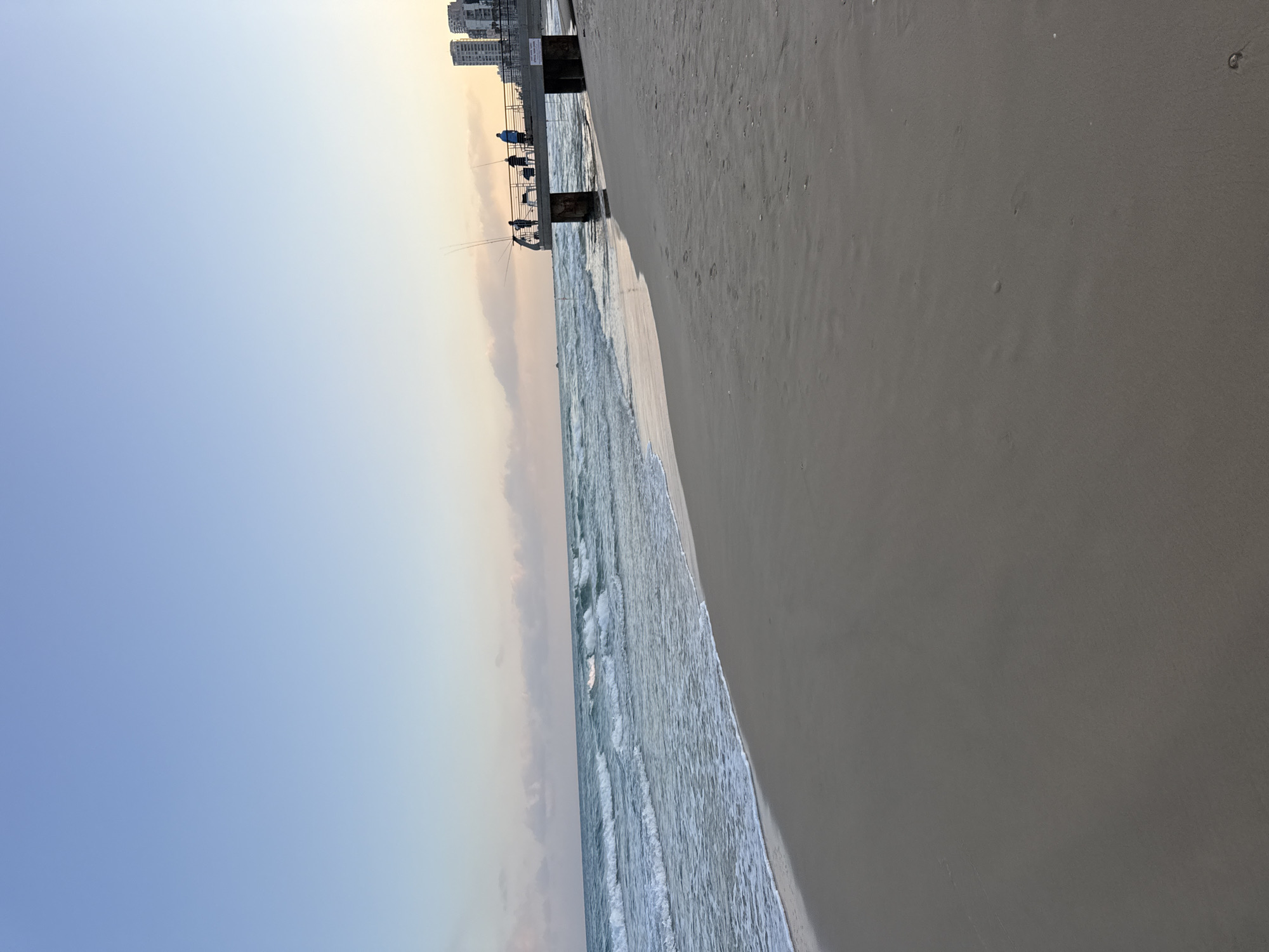
Stake attention in this memory
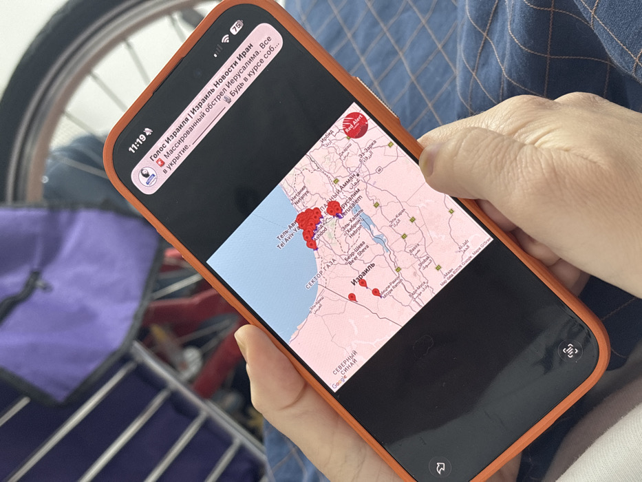
An individual holds an orange-cased smartphone in their left hand, with the right thumb positioned near the bottom right of the screen. The smartphone display shows a map of Israel, zoomed to an area encompassing the coastal plain, the Judean Hills, and parts of the Negev Desert and the Jordan Valley. On the map, numerous clustered red markers indicate activity along the central-west coast, particularly around Tel Aviv-Yafo and Ashdod. Additional isolated red markers are visible further south in Israel and eastward toward Jerusalem. Key cities labeled on the map include Tel Aviv-Yafo, Ashdod, Jerusalem, and Be'er Sheva. The Gaza Strip (СЕКТОР ГАЗА) is marked to the west, and the nation of Israel (ИЗРАИЛЬ) is centrally labeled. A circular "Red Alert" icon is present on the map's lower right side, near the Dead Sea region. At the top of the smartphone screen, a notification banner is visible with the time "11:19". The notification, originating from "Голос Израиля | Израиль Новости Иран" (Voice of Israel | Israel News Iran), reads in Russian: "Массированный обстрел Иерусалима. Все в укрытие." (Massive shelling of Jerusalem. Everyone to shelter.) It also includes "Будь в курсе соб..." (Stay informed...) and "в Украине" (in Ukraine). The background is out of focus, revealing partial elements of a domestic setting: a light blue patterned fabric beneath the phone, a purple object (possibly a bag or furniture) in the upper left, and metallic spokes and rim of a bicycle wheel in the upper right. The clusters of red markers on the map, covering the Tel Aviv metropolitan area which includes Bat Yam, suggest the image's location is within or proximate to Bat Yam, Israel.
No transactions found