Stake attention in this memory
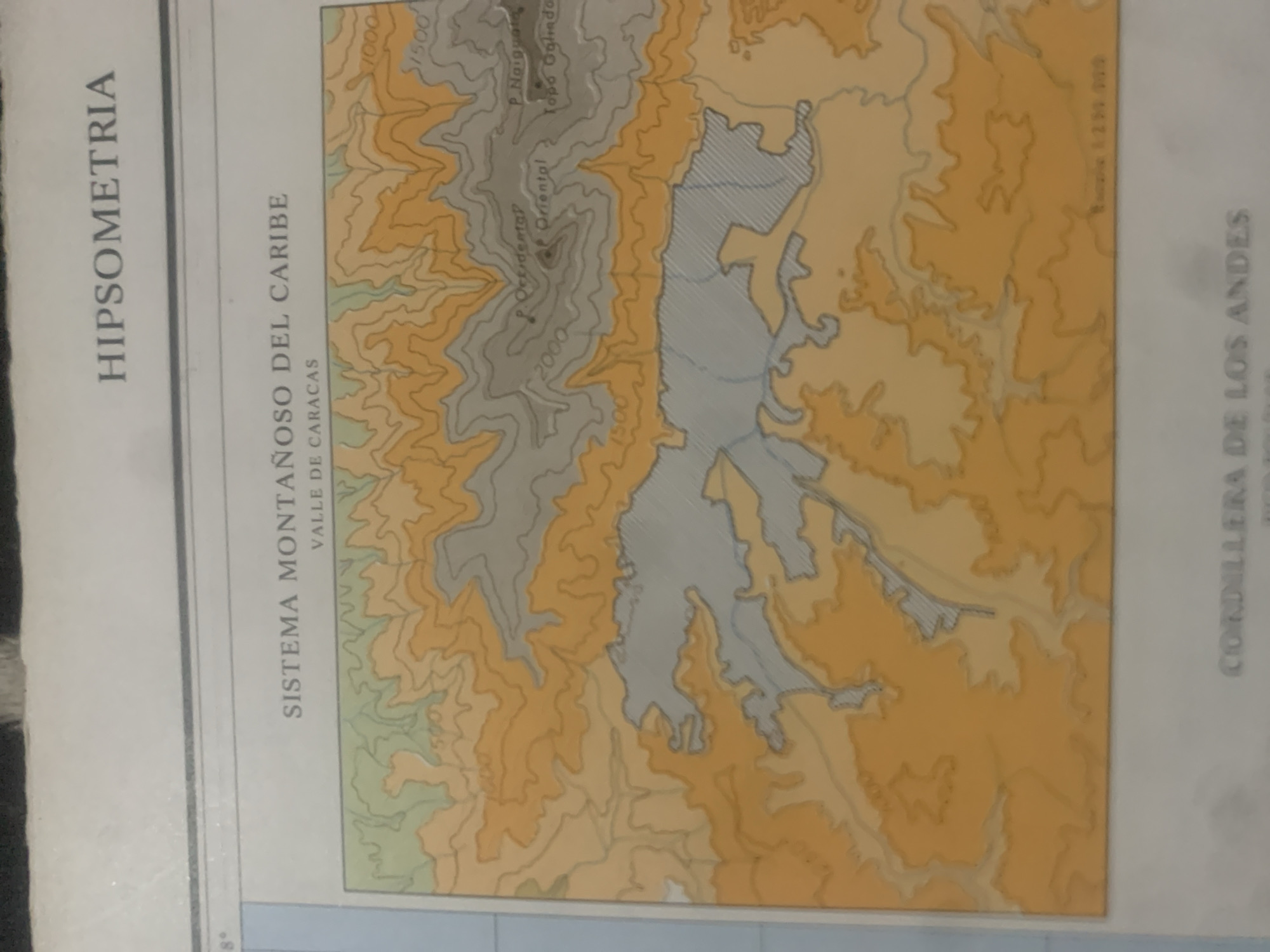
This is a rotated, close-up, eye-level, medium shot of a map illustrating topographical data. The map displays elevation contours in varying shades of orange, yellow, and green, with grey areas indicating higher elevations. A prominent blue shaded area represents a body of water, likely a lake or reservoir, with some tributaries feeding into it. Visible text on the map includes "HIPSOMETRIA", "SISTEMA MONTAÑOSO DEL CARIBE", and "VALLE DE CARACAS" in large, vertical text on the left. In the upper right quadrant, "CORDILLERA DE LOS ANDES" is also vertically oriented. Several smaller labels appear on the topographical features, such as "P. Occidente", "P. Oriental", "P. Naiguate", and "Topo Galindo", along with numerical elevation markers like "1000", "1500", and "2000". There is also a numerical label that appears to be a scale or reference number: "1254309". The map's details suggest it is a geographical representation of a mountainous region in Venezuela, specifically highlighting the Caribbean Mountain System and the Caracas Valley. The presence of contour lines and labels like "Topo Galindo" and specific peaks indicate a detailed topographical survey. The blue shaded area suggests a significant hydrological feature, likely a dammed reservoir given the mountainous terrain. No people, animals, or specific time of day or weather conditions are depicted. The overall impression is that of a scientific or educational document focused on geography and topography.
Symbol
9017F
Volume
11,550
Creator
+$0.15
Revenue
+$0.30
TVL
$11.75
2
Rev Bot 🤖💰
Injected revenue 6d ago
“Revenue bonus for the last stake.”
+$0.34 USD


