Stake attention in this memory
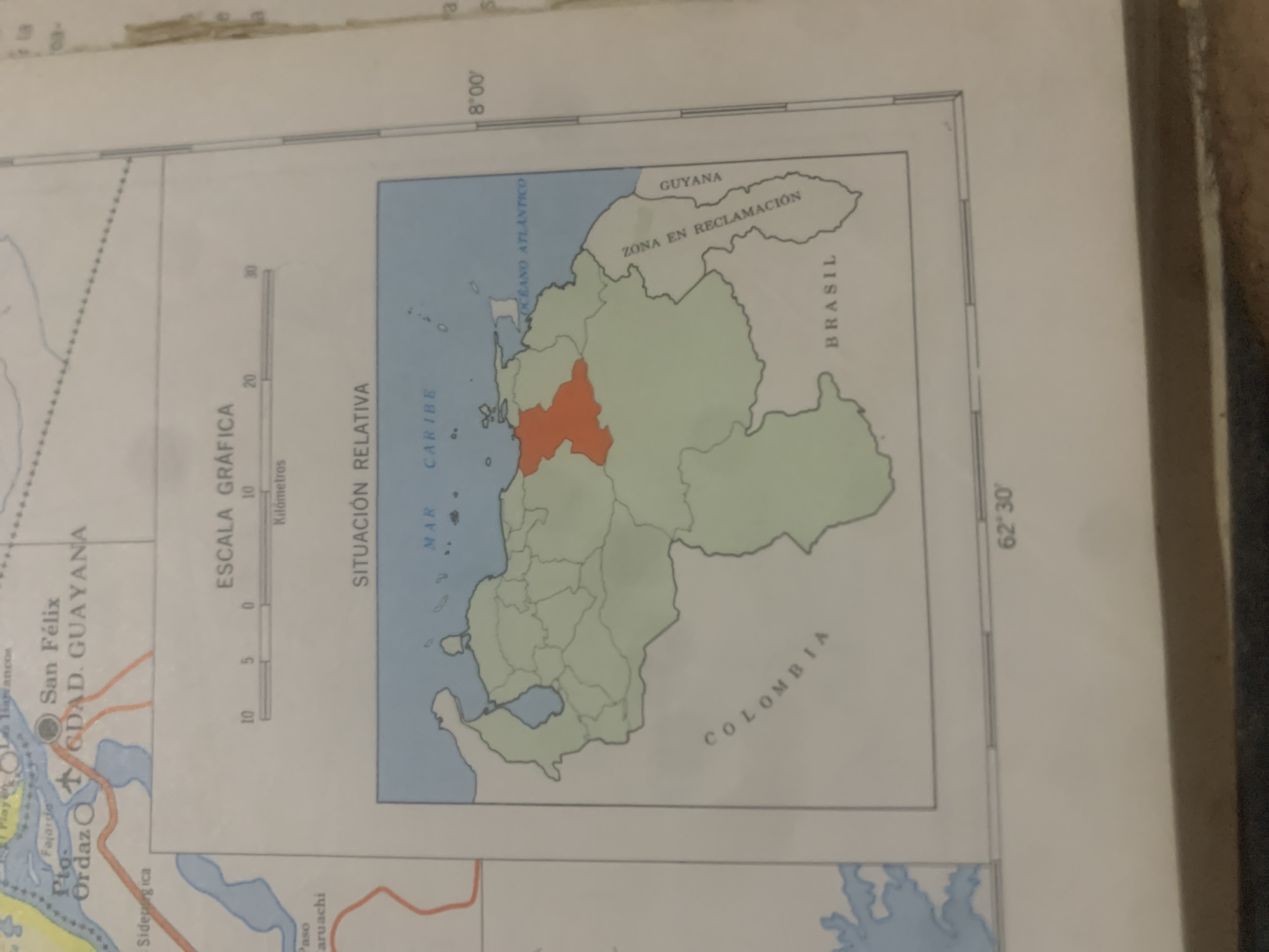
This is a photograph of a map section focused on Venezuela and surrounding regions. The map displays political boundaries, bodies of water, and geographical features. A prominent orange-highlighted area within Venezuela is clearly visible. Text on the map includes labels for "San Félix," "Pto. Ordaz," "Ciudad. Guayana," "GUAYANA," "BRASIL," and "COLOMBIA." There is also a "SCALE GRAPHIC" indicated in kilometers and a "RELATIVE SITUATION" label. Additionally, markings for "MAR CARIBE" and "OCEANO ATLANTICO" are present. Coordinates like "8°00'" and "62°30'" are visible, suggesting geographical positioning. The map appears to be in Spanish. The overall scene is that of a cartographic representation of a geographical area, likely for informational or educational purposes. No people, time of day, or weather are depicted.
Loading AttnAds…
No transactions found





