Stake attention in this memory
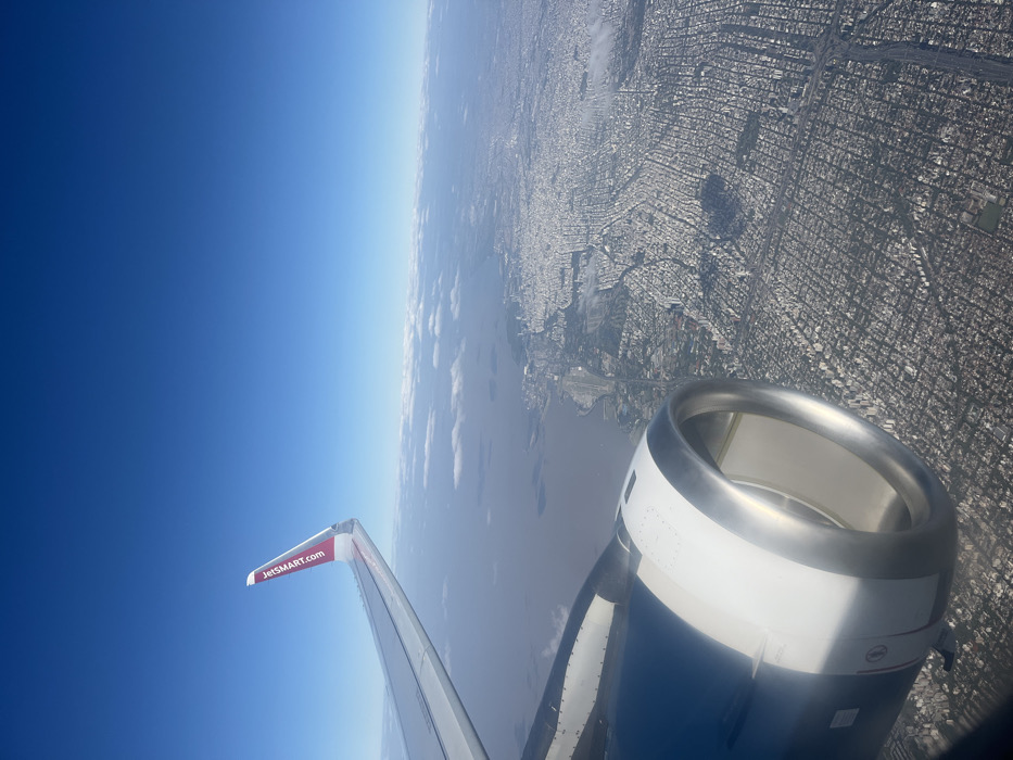
An aerial photograph captures a view from an aircraft, showcasing a segment of its port wing, red winglet with "JETSMART.COM" branding, and the forward section of the engine nacelle in the lower left foreground. The scene depicts a vast urban sprawl along the Río de la Plata, in the northern part of Greater Buenos Aires, Argentina, specifically over areas consistent with Martínez. The river, a wide expanse of brownish-grey water, occupies the left-mid portion of the frame, bordered by a coastline featuring green spaces and densely packed residential and commercial buildings laid out in a distinct grid pattern. The urban area extends inland, characterized by numerous white and grey structures forming a continuous settlement. The sky above is clear blue with a horizon line marked by scattered white clouds. No individuals or specific actions are discernible at this altitude.
Symbol
90920
Volume
0
Creator
+$0.01
Revenue
+$0.00
TVL
$0.00
2
Rev Bot 🤖💰
Injected revenue 1mo ago
“Revenue bonus for the last stake.”
+$0.02 USD