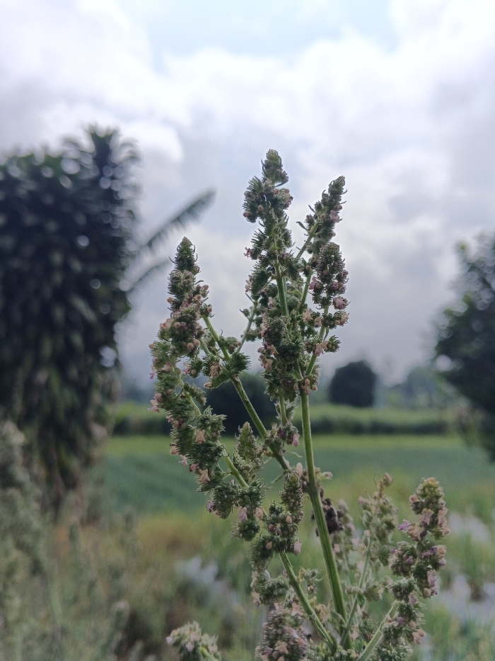
Stake attention in this memory
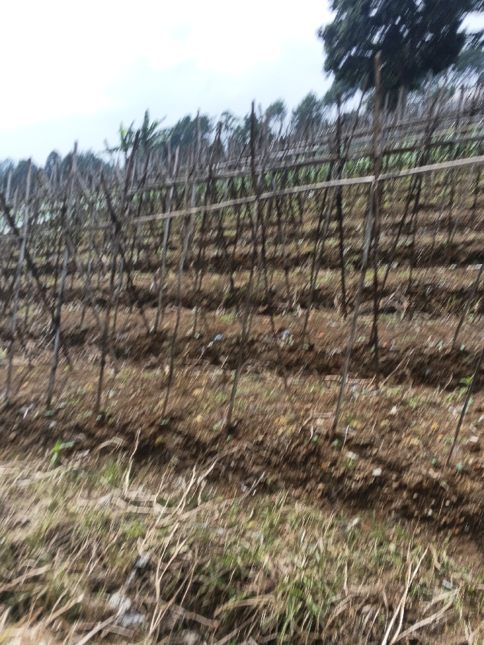
This image displays an agricultural field in Nam Sa Lat, Myanmar. The scene features multiple parallel rows of thin, upright wooden stakes or poles, interconnected by horizontal wooden crossbeams, forming a trellis-like support system across the midground. The ground beneath the trellises is primarily dark brown, tilled soil with minimal, sparse green vegetation. In the foreground, a strip of drier, lighter-colored grass and disturbed earth is visible. The background consists of a line of green-leafed trees, appearing on a slight incline, beneath a light grey, overcast sky. No people, animals, or specific crop are distinctly identifiable due to the general blurriness of the image.
Loading AttnAds…
No transactions found