
Stake attention in this memory
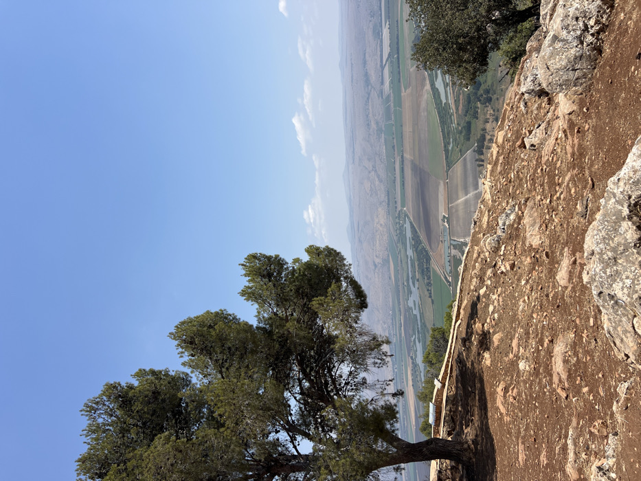
An elevated panoramic view captures the Hula Valley within the Mevoot HaHermon Regional Council, Israel, under clear daylight conditions. In the immediate foreground, reddish-brown rocky earth with scattered stones slopes downward. A large evergreen tree, likely a pine, stands prominently on the left, its trunk rooted in the foreground, with dense green foliage extending into the upper left quadrant. Adjacent to the tree's base, a low, light-colored stone wall or barrier runs horizontally, featuring a small, dark information sign mounted on it. The midground reveals an expansive valley floor characterized by a mosaic of agricultural fields, varying in color from light brown to verdant green. Multiple irregularly shaped bodies of water or ponds are visible within the valley, particularly towards the left. A network of paths or unpaved roads traverses the cultivated land. Distant, hazy mountain ranges form the backdrop, defining the far horizon. The sky above is a uniform clear blue with a few scattered white cumulus clouds visible along the distant horizon to the right. No people or animals are present.
Loading AttnAds…
No transactions found