Stake attention in this memory
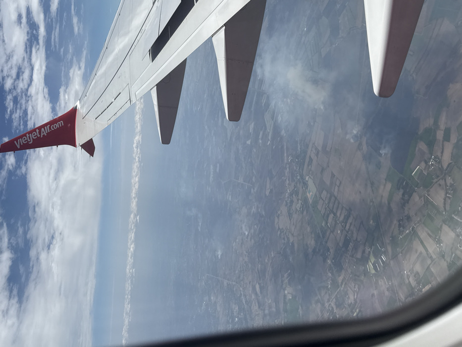
An aerial photograph, taken from an aircraft window, depicts the rural landscape beneath. The upper right portion of the image is dominated by the white wing of a commercial airliner, featuring a red winglet with "VietjetAir.com" written vertically in white text. Below the wing, the ground consists of a mosaic of agricultural fields varying in color from green to brown, intersected by faint linear features resembling roads or paths. Scattered clusters of small structures are visible across the cultivated land. Multiple distinct plumes of white-gray smoke rise from various points on the ground, indicating active burning in several locations. A prominent smoke plume is visible in the mid-ground, to the right of the aircraft's pylon structure. The atmosphere below the aircraft appears hazy. Above the horizon, a distinct horizontal band of stratiform clouds is present, with scattered cumulus clouds against a blue sky higher up. The scene is consistent with an aerial view over the agricultural areas surrounding Siem Reap, Cambodia, particularly during a period when field clearing by burning is common. No individuals are visible.
Symbol
91583
Volume
2,087
Creator
+$0.01
Revenue
+$0.00
TVL
$0.55
Loading AttnAds…