Sign in
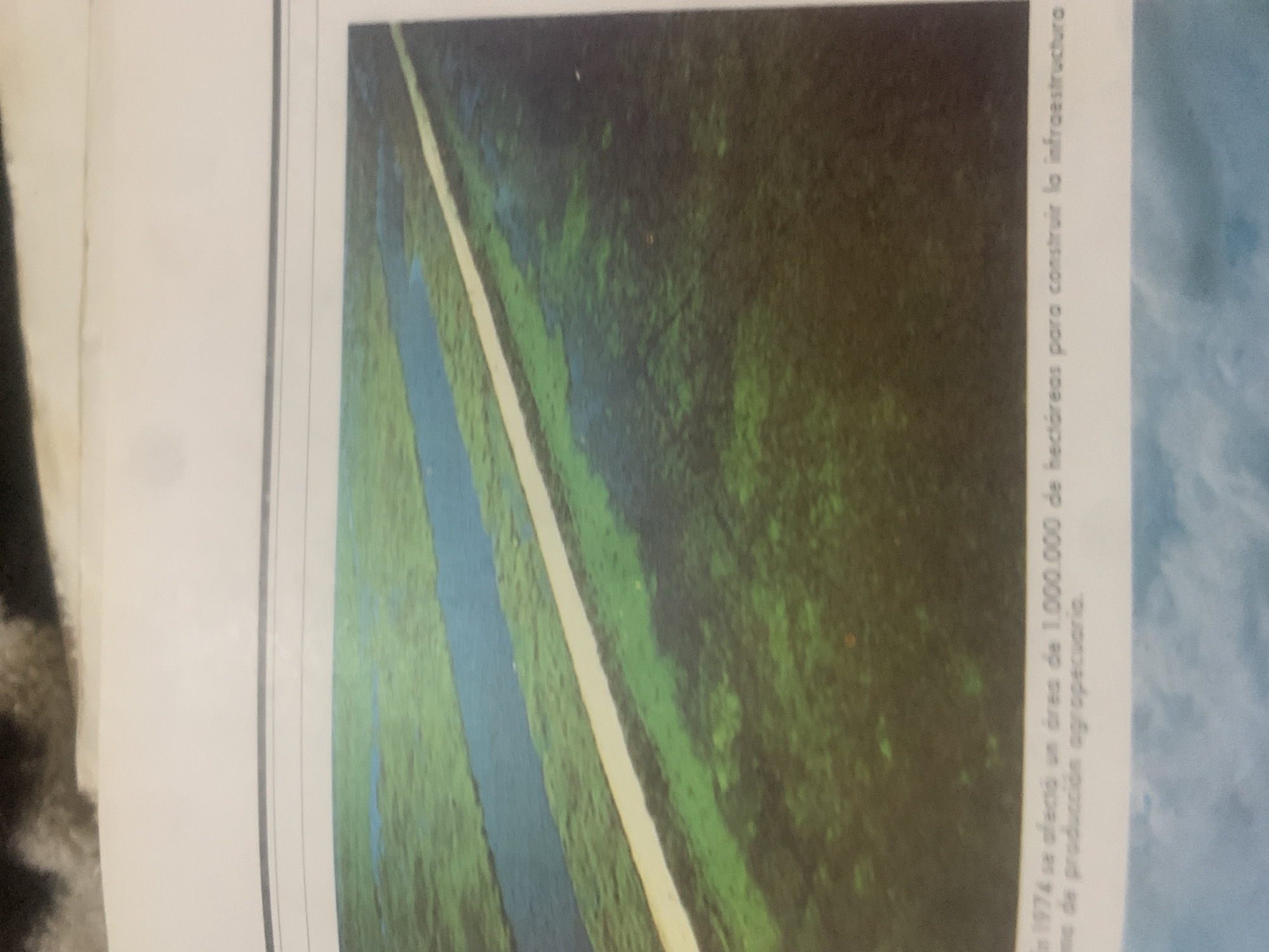
This media file features an aerial view of a landscape, likely a rural or natural setting, with text overlayed. The scene depicts a long, light-colored strip, possibly a road or a canal, cutting diagonally through a vast expanse of dark green and lighter green vegetation, interspersed with patches of blue, likely water. The vegetation appears dense and somewhat wild, suggesting a natural environment or undeveloped land.

The text, oriented vertically along the right side of the image, reads: "In 1974 se afectó un área de 1.000.000 de hectáreas para construir la infraestructura de producción agropecuario." This translates to: "In 1974, an area of 1,000,000 hectares was affected to build the infrastructure for agricultural production." The text indicates a significant land development project related to agriculture that began in 1974.

The image itself does not show any people or specific structures beyond the road-like feature and the landscape. The time of day and weather are not discernible from the image. The location context provided, La Tagua, Venezuela, suggests that this aerial view is of that region and the described land development occurred there. The overall impression is one of large-scale transformation of land for agricultural purposes.
bombolico

Jun 25, 2026, 2:38 PM

La Tagua, Venezuela

BLOCKED

Stake attention in this memory

somber
melancholy
desolate
hollow
reflective

This media file features an aerial view of a landscape, likely a rural or natural setting, with text overlayed. The scene depicts a long, light-colored strip, possibly a road or a canal, cutting diagonally through a vast expanse of dark green and lighter green vegetation, interspersed with patches of blue, likely water. The vegetation appears dense and somewhat wild, suggesting a natural environment or undeveloped land. The text, oriented vertically along the right side of the image, reads: "In 1974 se afectó un área de 1.000.000 de hectáreas para construir la infraestructura de producción agropecuario." This translates to: "In 1974, an area of 1,000,000 hectares was affected to build the infrastructure for agricultural production." The text indicates a significant land development project related to agriculture that began in 1974. The image itself does not show any people or specific structures beyond the road-like feature and the landscape. The time of day and weather are not discernible from the image. The location context provided, La Tagua, Venezuela, suggests that this aerial view is of that region and the described land development occurred there. The overall impression is one of large-scale transformation of land for agricultural purposes.

Symbol

93998

Volume

0

Creator

+$0.09

Revenue

+$0.00

TVL

$0.00

1D
1W
1M
All

Loading AttnAds…

transactions
revenues
stakers
Earliest
Latest
Highest stake

1

Ramón

Staked 10d ago
Redeemed 9d ago

$7.23 USD

+$0.04 USD

Fee: $0.07 (1%)

+0.6%

2

Rev Bot 🤖💰

Injected revenue 10d ago

Revenue bonus for the last stake.

+$0.21 USD

More from this user

More from La Tagua

bombolico

Jun 25, 2026, 2:38 PM

La Tagua, Venezuela

Licensed under Creative Commons Attribution 4.0 International License. You are free to share and adapt this content with proper attribution.





