Stake attention in this memory
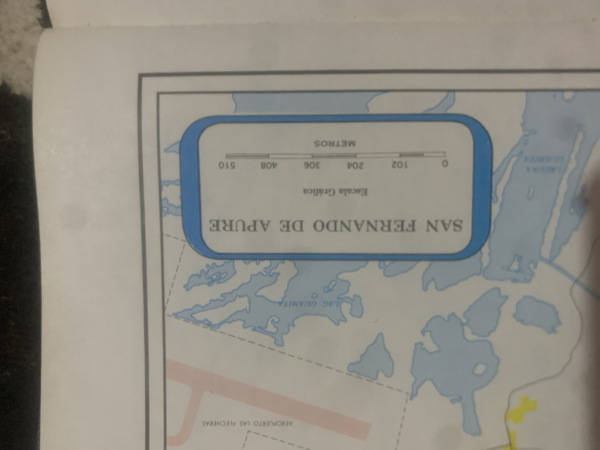
The image is a close-up of a map, likely from a travel guide or atlas, depicting a section of La Tagua, Venezuela. The map shows bodies of water, including a large lake labeled "LAG GUAMITA," and land features such as an airport labeled "AEROPUERTO LAS FLECHERAS." A prominent feature is a rectangular box with a blue border, containing the text "SAN FERNANDO DE APURE" vertically along the left side. Inside this box, there is a graphic scale labeled "Escala Gráfica" (Graphical Scale) with markings in meters, ranging from 0 to 510. The map is printed on white paper and has a light blue and gray color scheme for the geographical features. There are no people or actions depicted.
Symbol
93E17
Volume
0
Creator
+$0.03
Revenue
+$0.00
TVL
$0.00
Loading AttnAds…

2

Rev Bot 🤖💰
Injected revenue 2mo ago
“Revenue bonus for the last stake.”
+$0.06 USD





