Stake attention in this memory
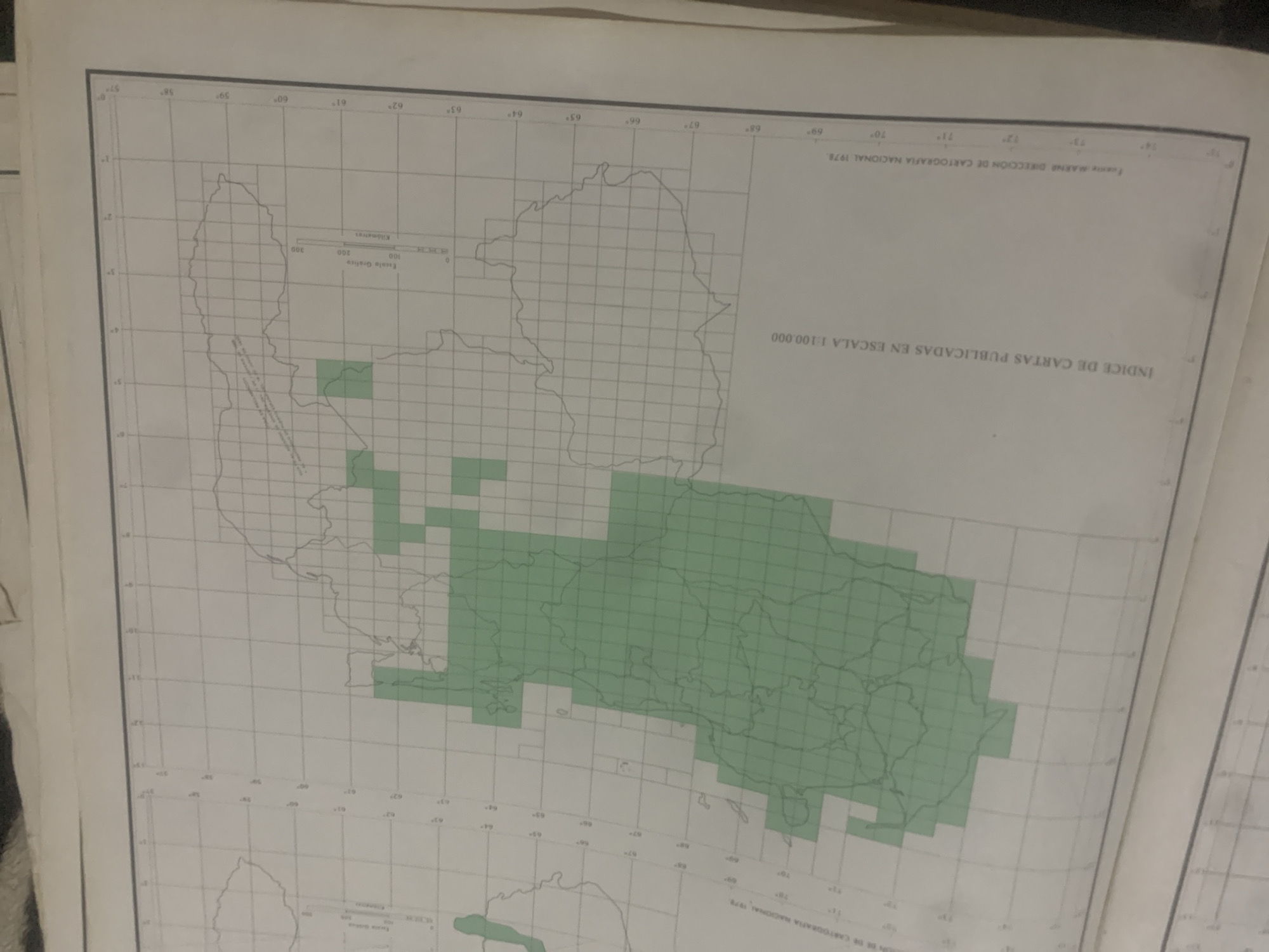
This is an aerial photograph of a map, likely a section of a larger geographical index. The map displays a grid system with latitude and longitude lines clearly marked, indicating a systematic cartographical representation. Several outlines of landmasses are visible, some filled with a light green color, suggesting areas of interest or coverage. A scale bar is present, labeled in kilometers, with markings for 0, 100, 200, and 300 kilometers, providing a sense of the map's scale. Prominent text on the map includes "INDICE DE CARTAS PUBLICADAS EN ESCALA 1:100.000" which translates to "INDEX OF MAPS PUBLISHED ON A SCALE OF 1:100,000." Further text indicates the source as "Fuente MARNE DIRECCIÓN DE CARTOGRAFIA NACIONAL 1978," meaning "Source MARNE NATIONAL CARTOGRAPHY DIRECTION 1978." This suggests the map is an official index from the Venezuelan National Cartography Directorate from 1978. The image quality is somewhat degraded, with visible grain and slight discoloration, possibly due to age or the scanning process. The overall scene is that of a cartographical document, laid out flat and photographed from a perspective that captures a significant portion of its surface. There are no people or specific events depicted, only the map itself and its textual information. The context provided of La Tagua, Venezuela, might be the geographical area the map pertains to, or where it was found.
Symbol
94139
Volume
11,550
Creator
+$0.13
Revenue
+$0.17
TVL
$11.55
2
Rev Bot 🤖💰
Injected revenue 6d ago
“Revenue bonus for the last stake.”
+$0.18 USD