Stake attention in this memory
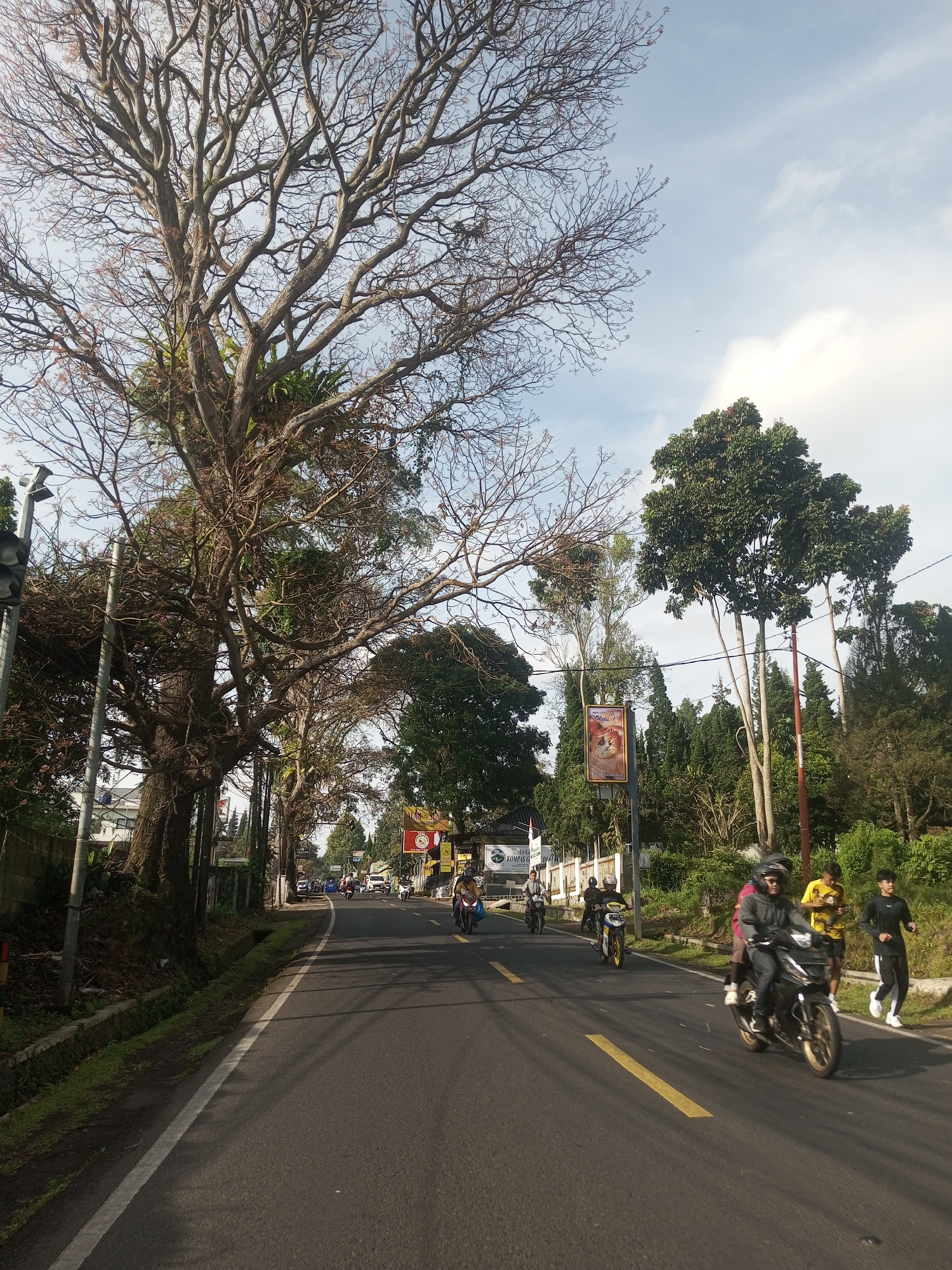
Gloomy
Tranquil
Overcast
Serene
Contemplative
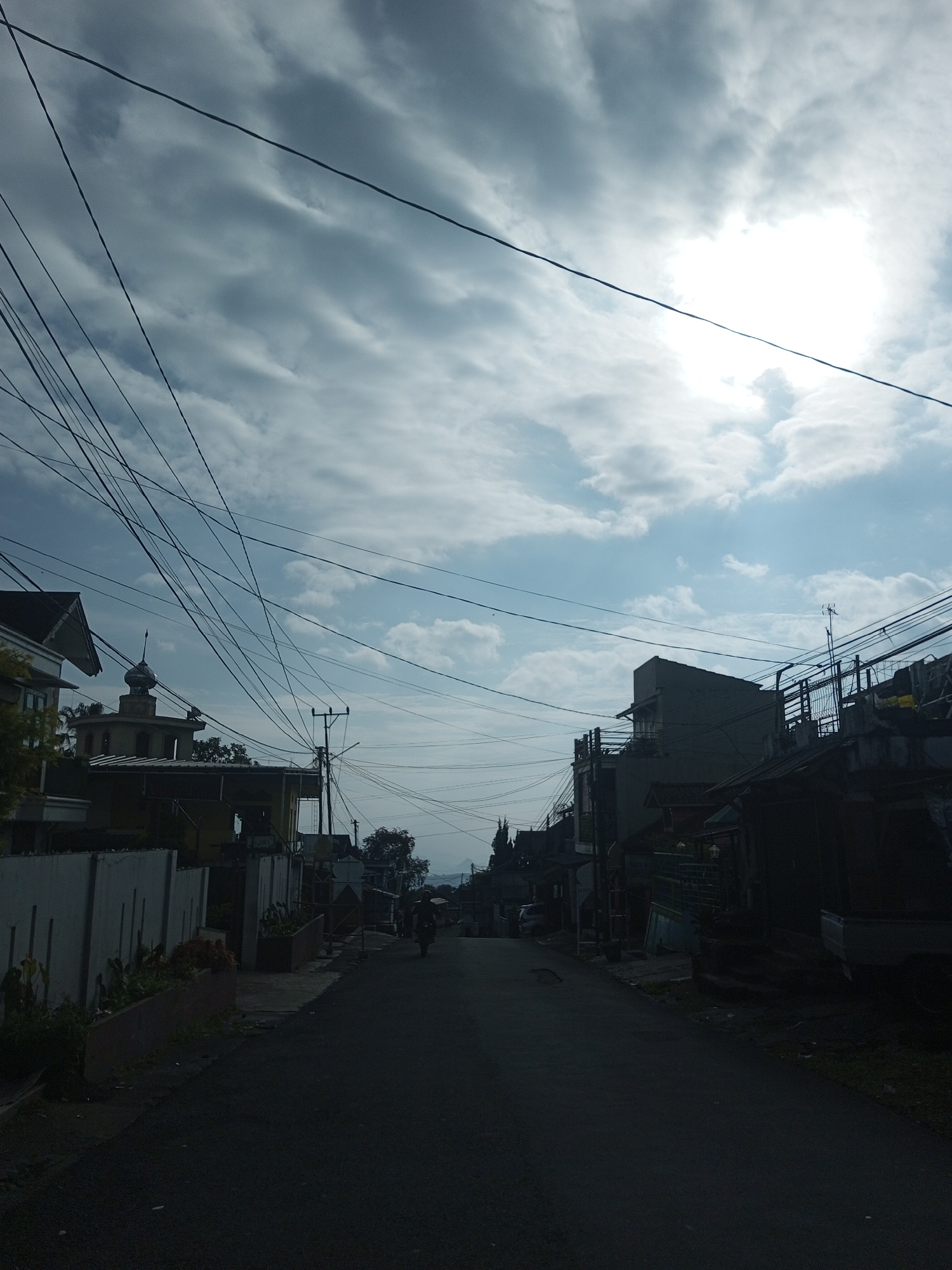
The image depicts a narrow, slightly uphill road in Mya Sit Kaing Ywar Thit, Myanmar. The road surface is dark and appears to be asphalt. Buildings line both sides of the road, varying in height and architectural style. Utility poles and a dense network of overhead wires crisscross the sky. On the left side of the road, there is a white wall with a building partially visible behind it. A building with a dome-like structure is also visible. On the right, the buildings appear more densely packed. In the distance, a lone motorcyclist is traveling uphill. The sky is partly cloudy with the sun obscured.
transactions
revenues
stakers
Earliest
Latest
Highest stake
No transactions found