Stake attention in this memory
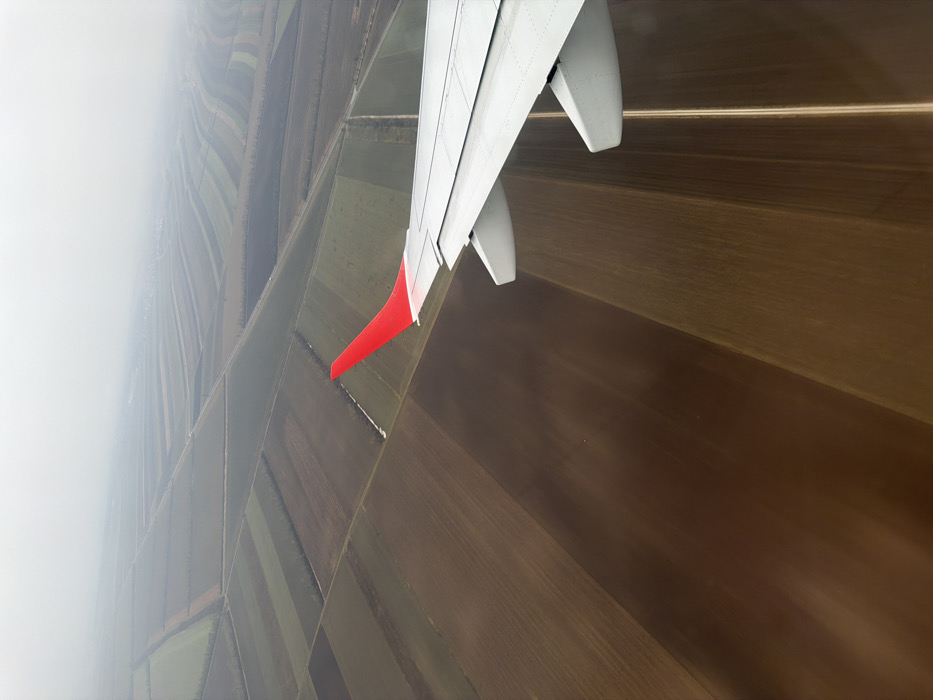
An aerial photograph captures an agricultural landscape near Fischamend, Austria, viewed from the right wing of a commercial airliner. The aircraft's silver-grey wing, featuring a prominent red wingtip (winglet), extends diagonally from the lower right toward the mid-left of the frame. Below the wing and receding into the distance, a vast expanse of organized agricultural fields is visible. These fields primarily exhibit shades of brown earth, indicative of fallow or tilled land, with some sections displaying strips of lighter green vegetation or ground cover. The landscape is segmented by numerous narrow, linear features, which appear to be unpaved farm roads, field boundaries, or irrigation channels. The sky is uniformly overcast and hazy, obscuring the distant horizon and creating a muted, low-contrast environment. No individuals, active subjects, or specific interactions are discernible within the scene.
No transactions found