Stake attention in this memory
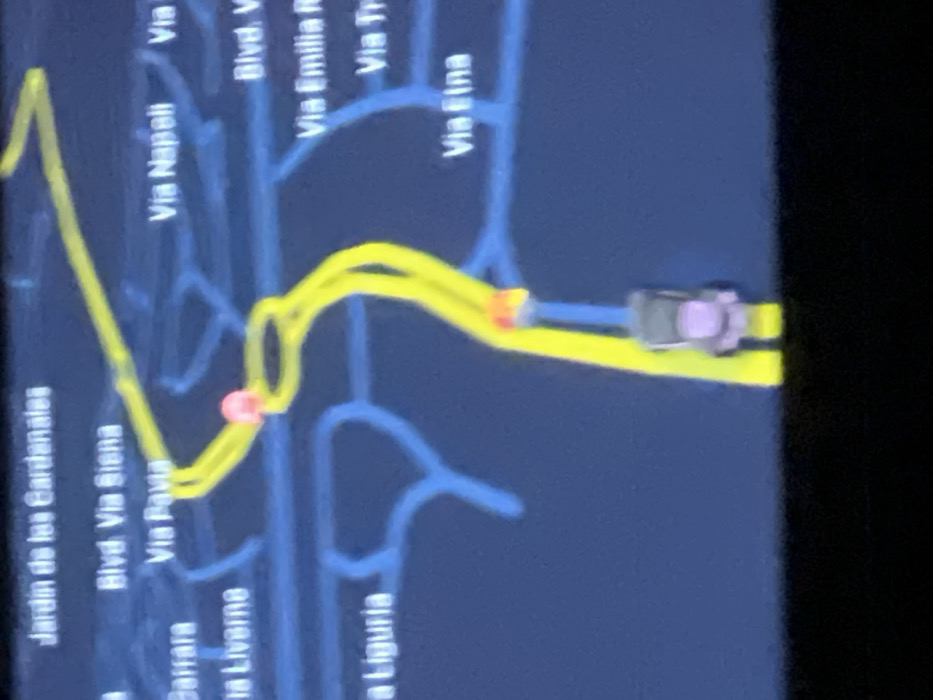
The image displays a digital navigation map, likely from an in-car system, shown on a screen. The map is oriented in a portrait fashion but captured sideways, making the text appear rotated. The background of the map is a dark blue, representing the general area, with a network of lighter blue lines indicating various roads and streets. A prominent, thick yellow line highlights the active navigation route. A small, stylized car icon, colored gray with light purple accents, is positioned on this yellow route, indicating the current location and direction of travel. The car icon is located towards the right side of the screen, moving along a straight section of the yellow route. The route ahead involves several turns; immediately in front of the car, the yellow line takes a sharp bend, marked by a small, bright red/orange circular indicator, suggesting an upcoming turn. Further back along the route, another red/orange indicator is visible at an earlier turn. The yellow route also shows segments where it appears as a double line, possibly indicating multiple lanes or a wider road. Several road names are visible on the map, mostly in white text against the dark blue background. These include: * "Jardin de las Cardanales" * "Blvd. Via Siena" * "Via Pavia" * "Via Liverne" * "Via Napeli" * "Blvd. V" (partially visible) * "Via Emilia" (partially visible) * "Via Tr" (partially visible) * "Via Elna" * "a Liguria" The image has some blur, suggesting it is a photograph of a screen rather than a direct screenshot. The lighting appears dim around the edges, possibly due to the nature of the screen display or the ambient light conditions when the photo was taken. The overall impression is of an active navigation session, guiding a vehicle through a network of roads.
No transactions found