Sign in
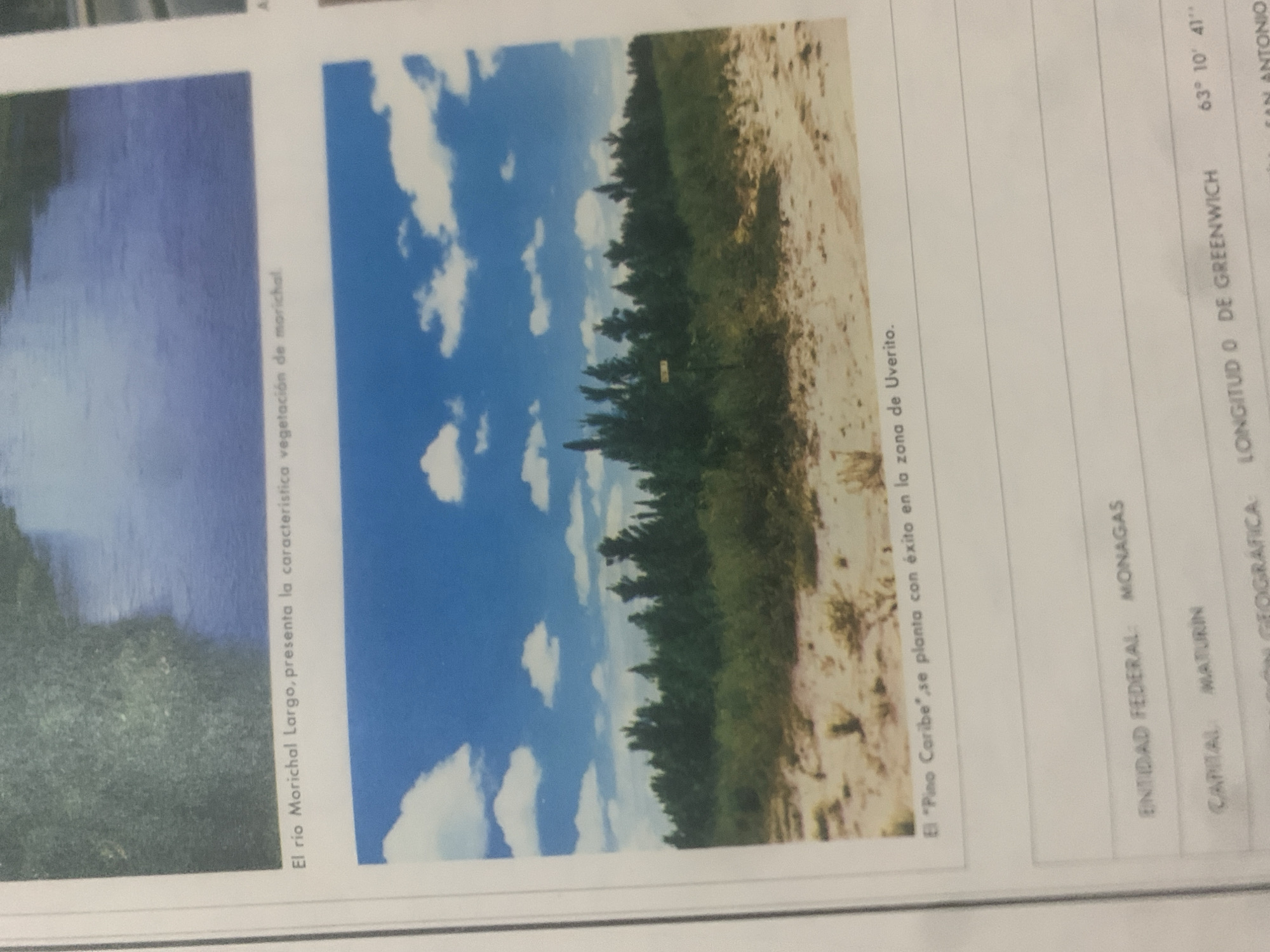
This media file contains two images presented side-by-side, with accompanying text. The left image shows a body of water, likely a river, with dark green vegetation on its banks. The text associated with this image states, "El río Morichal Largo, presenta la característica vegetación de marichal," indicating it depicts the Morichal Largo River and its characteristic vegetation.

The right image features a landscape with a bright blue sky filled with white, fluffy clouds. A dense line of trees forms a border between a sandy or dry earth area and the sky. The text below this image reads, "El 'Pino Caribe' se planta con éxito en la zona de Uverito." This suggests the image showcases the successful planting of Caribbean Pine in the Uverito area.

To the right of these images, a table-like structure is visible with columns labeled "ENTIDAD FEDERAL," "CAPITAL," and "IN GEOGRÁFICA." The entries visible are "MONAGAS" for the federal entity and "MATURIN" for the capital. Under the geographical information, "LONGITUD 0 DE GREENWICH" and "63° 10' 41"" are present, along with what appears to be a place name "SAN ANTONIO". The overall context suggests a geographical or environmental documentation from La Tagua, Venezuela, highlighting specific flora and geographical coordinates. The images themselves do not contain people, and the time of day appears to be daytime with fair weather due to the clear blue sky.
bombolico

Jun 25, 2026, 2:36 PM

La Tagua, Venezuela

Short Term

Stake attention in this memory

peaceful
serene
tranquil
hopeful
nurturing

This media file contains two images presented side-by-side, with accompanying text. The left image shows a body of water, likely a river, with dark green vegetation on its banks. The text associated with this image states, "El río Morichal Largo, presenta la característica vegetación de marichal," indicating it depicts the Morichal Largo River and its characteristic vegetation. The right image features a landscape with a bright blue sky filled with white, fluffy clouds. A dense line of trees forms a border between a sandy or dry earth area and the sky. The text below this image reads, "El 'Pino Caribe' se planta con éxito en la zona de Uverito." This suggests the image showcases the successful planting of Caribbean Pine in the Uverito area. To the right of these images, a table-like structure is visible with columns labeled "ENTIDAD FEDERAL," "CAPITAL," and "IN GEOGRÁFICA." The entries visible are "MONAGAS" for the federal entity and "MATURIN" for the capital. Under the geographical information, "LONGITUD 0 DE GREENWICH" and "63° 10' 41"" are present, along with what appears to be a place name "SAN ANTONIO". The overall context suggests a geographical or environmental documentation from La Tagua, Venezuela, highlighting specific flora and geographical coordinates. The images themselves do not contain people, and the time of day appears to be daytime with fair weather due to the clear blue sky.

Symbol

98230

Volume

11,550

Creator

+$0.08

Revenue

+$0.09

TVL

$6.79

1D
1W
1M
All

Loading AttnAds…

transactions
revenues
stakers
Earliest
Latest
Highest stake

1

Ramón

Staked 10d ago

$6.77 USD

+$0.02 USD

+0.3%

2

Rev Bot 🤖💰

Injected revenue 10d ago

Revenue bonus for the last stake.

+$0.10 USD

More from this user

More from La Tagua

bombolico

Jun 25, 2026, 2:36 PM

La Tagua, Venezuela

Licensed under Creative Commons Attribution 4.0 International License. You are free to share and adapt this content with proper attribution.





