Stake attention in this memory
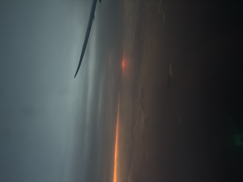
The image depicts an aerial view from an aircraft, likely at high altitude during either sunrise or sunset. The right wing of the aircraft is visible in the upper-right quadrant. The sky transitions from a muted blue-gray at the top to dark grey layered clouds. A prominent horizontal band of orange light is visible mid-left, above a dense cloud layer, while a more intense, diffused red glow is present mid-right, possibly indicating the sun's position. A vast, multi-layered cloudscape obscures the entire lower half of the frame, preventing any ground or water features from being observed. The overall illumination is low. A faint green lens flare is present in the lower-left corner. No people or specific actions are depicted. The image lacks any identifiable geographical features necessary to determine its location within the Cotswold District, United Kingdom; the view is entirely above extensive cloud cover. Cotswold District is a rural area, not a city.
No transactions found