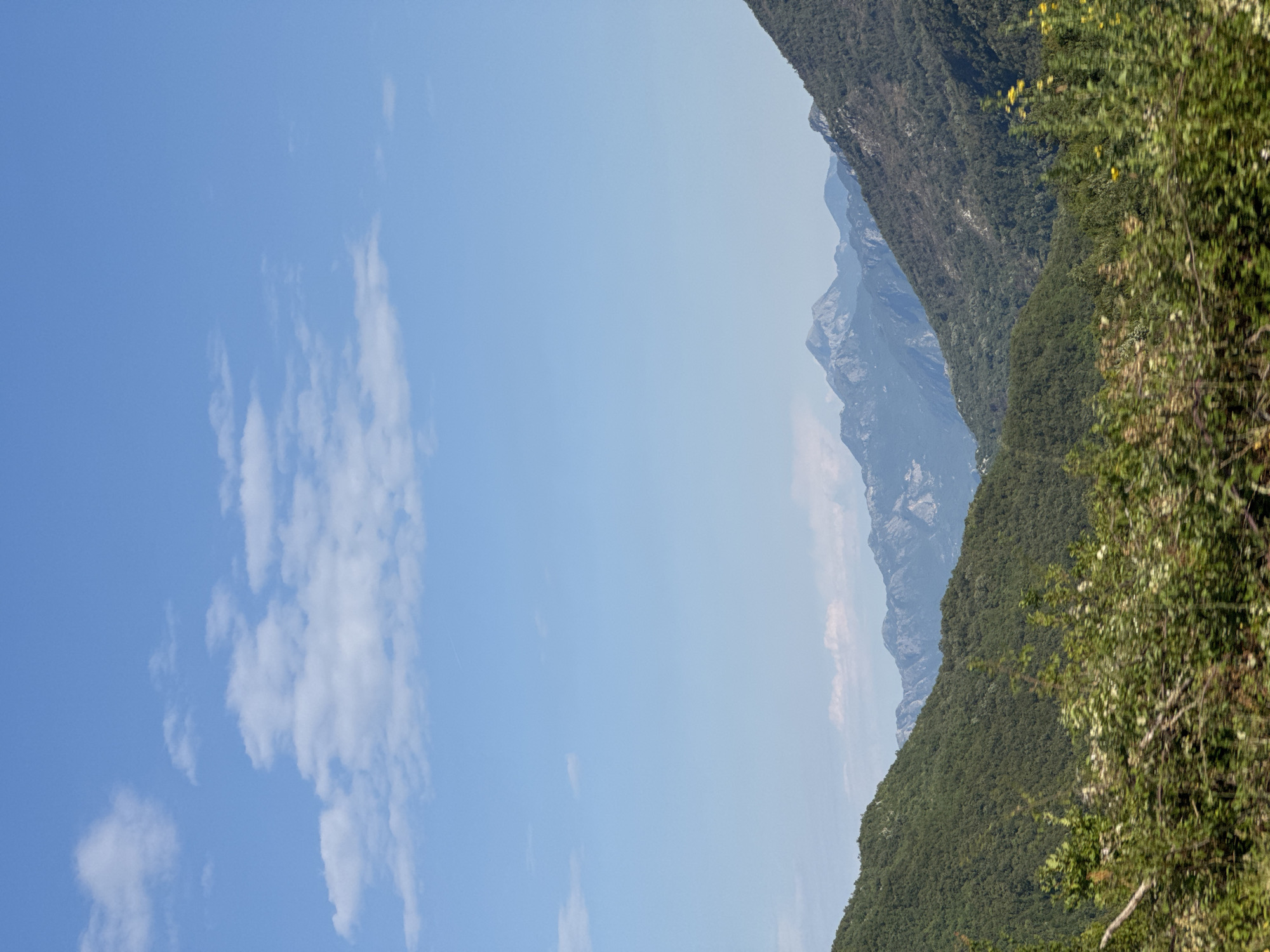
Stake attention in this memory
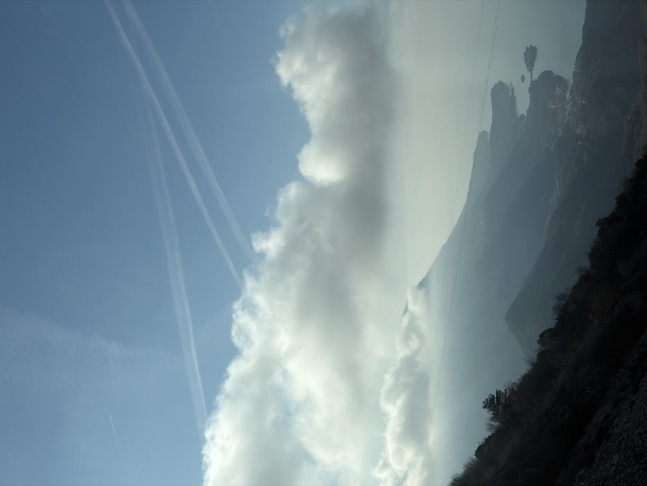
An elevated panoramic landscape captures the coastal region of Brajici, Montenegro. The upper half features a light blue sky with white cumulus clouds, concentrated in a band across the middle. Four aircraft contrails are visible: a faint linear contrail in the upper left, and three prominent white contrails in the upper right, two parallel and one intersecting. The lower half displays a mountainous terrain receding into atmospheric haze. The immediate foreground on the left is a steep, dark, rocky slope with sparse trees and brush. Successive mountain ridges are rendered in desaturated blues and grays, with their peaks partially obscured by low-hanging clouds. A series of dark, thin wires, possibly power lines or a cable car system, horizontally traverse the mid-ground mountain slopes. To the lower right, the calm, deep blue-green Adriatic Sea meets a rugged coastline featuring coves and bays. Several coastal settlements are visible, most notably the islet of Sveti Stefan, characterized by a cluster of red-roofed buildings connected to the mainland by a narrow causeway. No people or direct human activity are depicted within the scene.
Loading AttnAds…
No transactions found