Stake attention in this memory
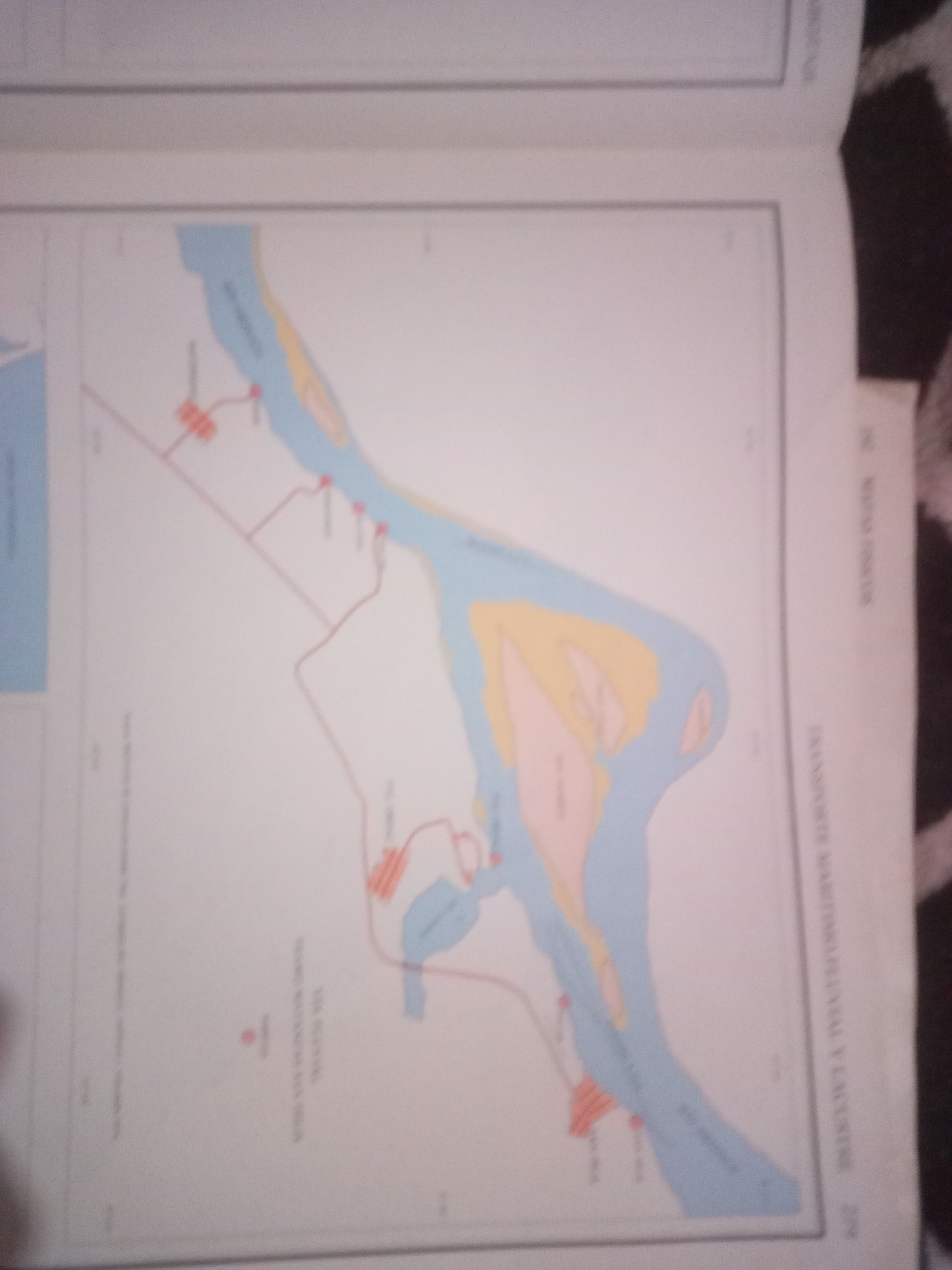
The image is a map depicting a section of the city of Santa Ana, Venezuela, focusing on a river system and its surrounding infrastructure. The map displays a meandering blue river with yellow landmasses adjacent to it, suggesting islands or sandbars. Red shapes, possibly representing buildings or facilities, are scattered along the riverbanks and connected by thin red lines, indicating roads or pathways. Some areas on the land are colored pink, which could denote specific zones or types of terrain. The map includes text in Spanish, with one visible label reading "RIO ANGOSTURA," likely identifying the river. Another visible text in the margin reads "SANTA ANA," confirming the city's location. The overall scene is a cartographic representation of an urban area integrated with a natural waterway.
Symbol
9A9E7
Volume
11,550
Creator
+$0.03
Revenue
+$0.05
TVL
$2.23
Loading AttnAds…

2

Rev Bot 🤖💰
Injected revenue 3mo ago
“Revenue bonus for the last stake.”
+$0.05 USD