Stake attention in this memory
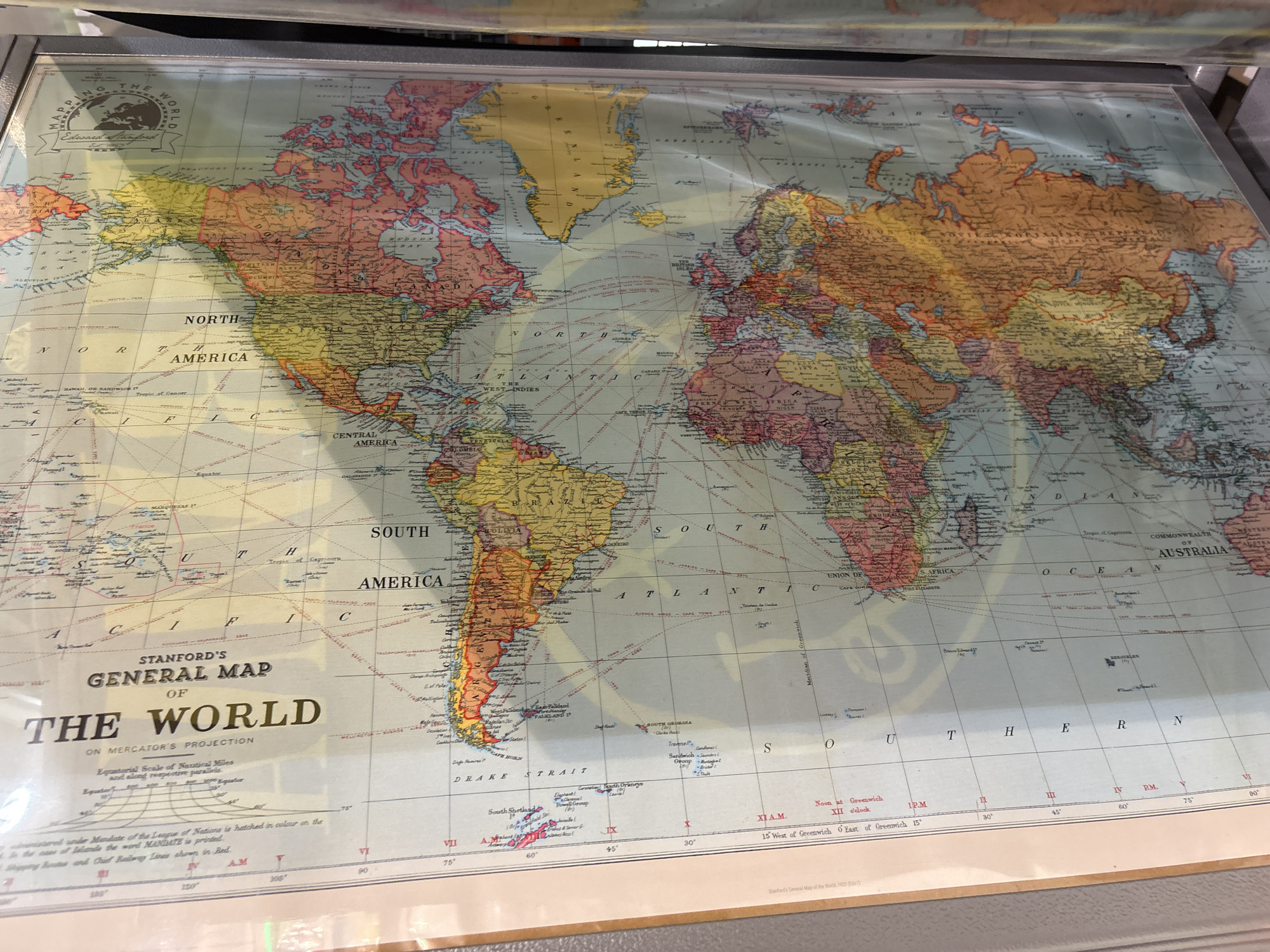
This is a photograph of a large, antique map of the world titled "STANFORD'S GENERAL MAP OF THE WORLD ON MERCATOR'S PROJECTION". The map is displayed on a flat surface, possibly a table or wall, and appears to be protected by a transparent sheet, likely plastic or glass, which reflects some light. The map itself is colorful, with continents depicted in shades of orange, yellow, green, and red, and oceans in blue. It shows various geographical features, country borders, and major cities. Text on the map includes the title, "MAPPING THE WORLD", and the name "Edward Stanford". There are also scales and lines of latitude and longitude. The bottom edge of the map includes a legend with notations about the scale of nautical miles, a reference to the "League of Nations", and information about "Shipping Routes and Chief Railway Lines". Further text at the very bottom states "Stanford's General Map of the World, 1920 (2561)". The overall impression is that of an educational or historical artifact, presented in a way that allows for detailed viewing. There are no people visible in the image. The lighting suggests an indoor setting, and there are no indications of weather conditions. The focus is entirely on the map and its details.
No transactions found