Stake attention in this memory
desolate
arid
dry
barren
lonely
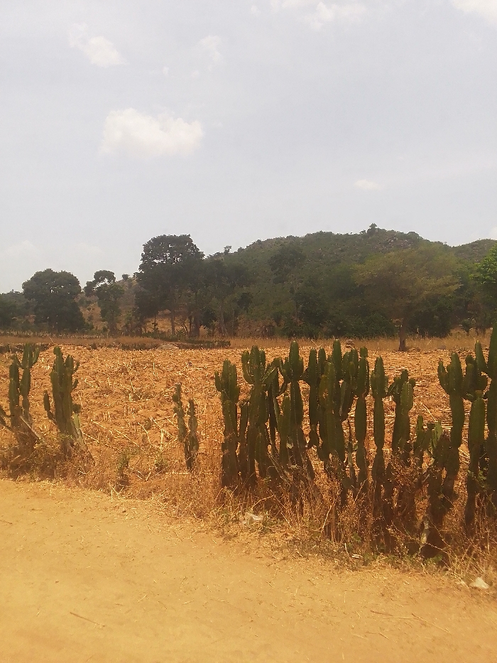
The image shows a dirt road leading into a field of dried-up crops and a row of cacti. There are trees and hills in the background. The image was taken in Kwal, Nigeria at the coordinates 9.805 latitude and 8.647 longitude. No people are visible in the image. The sky is cloudy and the dirt road is dry and dusty. The cacti are green and healthy. The field is dry and brown. The trees are green and lush. The hills are covered in green vegetation.
Loading AttnAds…
transactions
revenues
stakers
Earliest
Latest
Highest stake
No transactions found