Stake attention in this memory
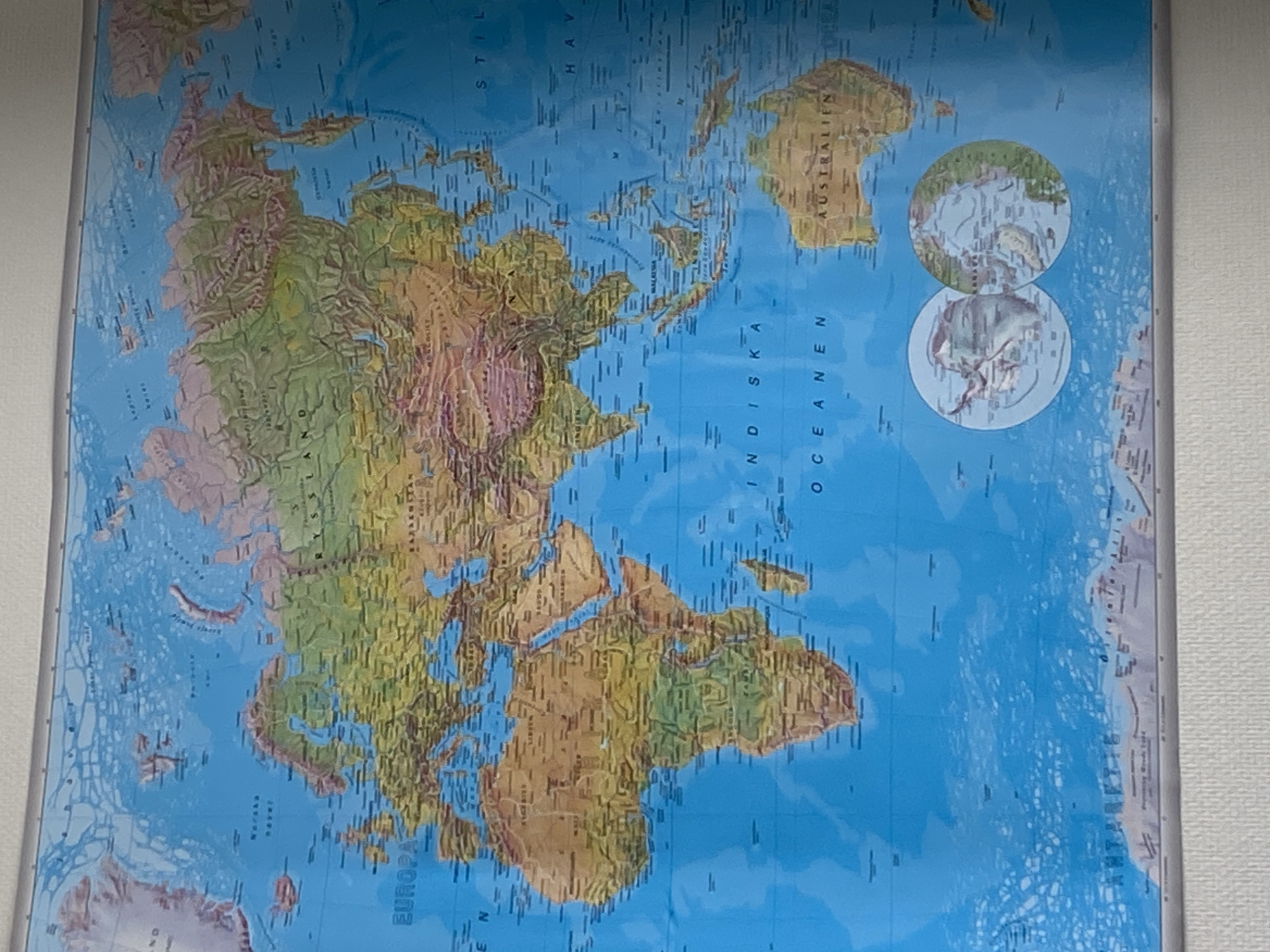
The image captures a physical world map, presented approximately 90 degrees counter-clockwise from its standard orientation. The map, likely laminated or framed, is mounted on a plain, light-colored indoor wall, consistent with a setting in Uppsala, Sweden. The map's primary subject is global geography, showcasing continents and oceans with detailed topographical features. Oceans are depicted in various shades of blue, indicating depth and illustrating submarine features like mid-ocean ridges and trenches. Landmasses are rendered in greens for low-lying areas and forests, transitioning to browns and purples for mountainous regions and deserts, effectively representing elevation and terrain. Several geographical names are visible in Swedish. Continents such as Europe ("EUROPA"), Africa, Asia, and Australia ("AUSTRALIEN") are prominently displayed. The Indian Ocean is clearly labeled "INDISKA OCEANEN," and parts of the Pacific Ocean are discernible as "STILLA HAVET." Other visible place names include "RYSSLAND" (Russia) and "MALAYSIA." In the upper right quadrant of the map, two circular inset views provide more detailed depictions of the polar regions, likely the Arctic and Antarctic. There are no people or activities visible in the image; it is a static capture of the map itself. The overall scene is an indoor setting, likely a classroom, office, or home environment.
No transactions found