Stake attention in this memory
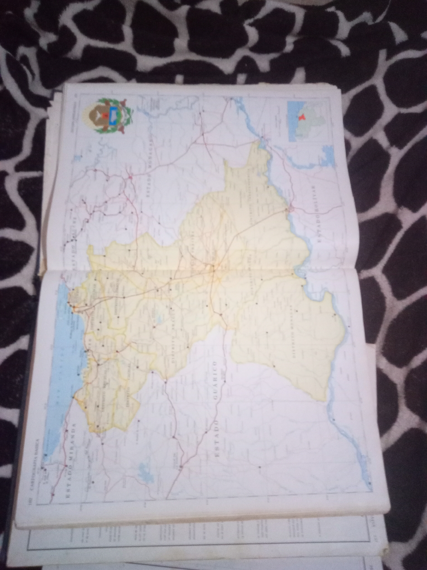
The image shows an open map, likely from a Venezuelan atlas, featuring a section of the country. The map is placed on a patterned surface, possibly a blanket or upholstery, with a black and white cow-print or giraffe-print design. In the upper left corner of the map, a coat of arms is visible. A small inset map in the upper right corner shows a colored region highlighted on a larger geographical outline. The main map displays various geographical features such as rivers, roads, and political boundaries, with labels in Spanish indicating states like "ESTADO MIRANDA" and "ESTADO BOLIVAR", and districts such as "DISTRITO CAPITAL". There is no indication of La Tagua, Venezuela, or any specific city location within this visible portion of the map. The image is slightly blurry and taken from an overhead perspective. There are no people or actions depicted in the scene, only the map and its surroundings.
Symbol
9BF34
Volume
11,550
Creator
+$0.03
Revenue
+$0.05
TVL
$2.41
Loading AttnAds…

2

Rev Bot 🤖💰
Injected revenue 3mo ago
“Revenue bonus for the last stake.”
+$0.06 USD






