
Stake attention in this memory
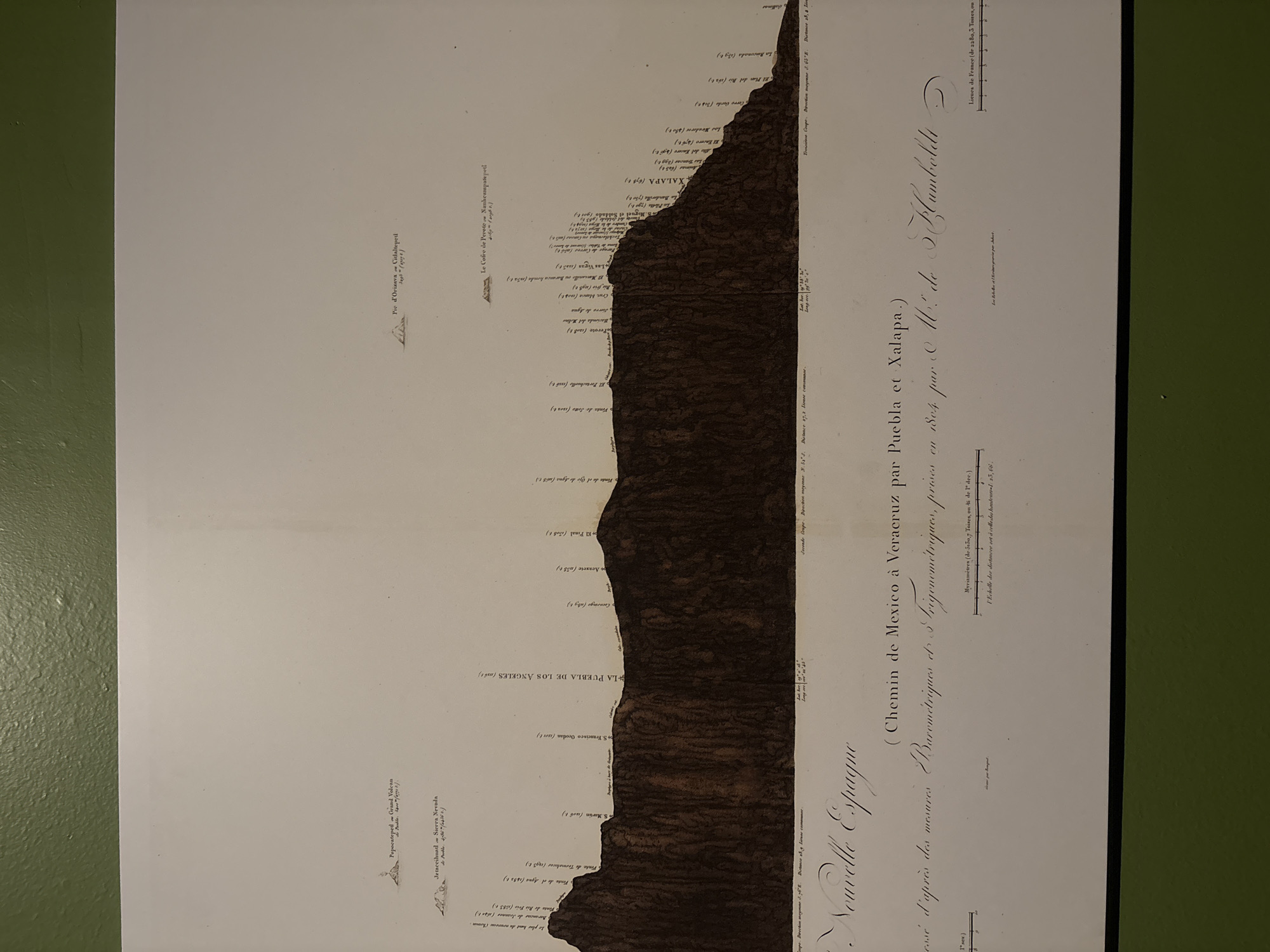
This image is an old map, titled "Nouvelle Espagne (Chemin de Mexico à Veracruz par Puebla et Xalapa)", which translates to "New Spain (Road from Mexico to Veracruz via Puebla and Xalapa)". The map appears to be a longitudinal profile showing elevation changes along the route from Mexico City to Veracruz, passing through Puebla and Xalapa. The profile is depicted with a dark brown, irregular line representing the terrain, and labels mark the elevation of various locations. The route is a survey "d'après des mesures Barometriques et & trigonométriques", which translates to "following Barometric and Trigonometric measurements, precise". The title also mentions that the map was "Par C. M. de Humboldt", referring to Alexander von Humboldt. It also contains elevation data for several locations, including Popocatépetl, Iztaccíhuatl, La Puebla de Los Angeles, Perote, Xalapa, and Pico de Orizaba. The text contains information in French, including notes about the scale of distances and the direction of the surveys.
Loading AttnAds…
No transactions found