Stake attention in this memory
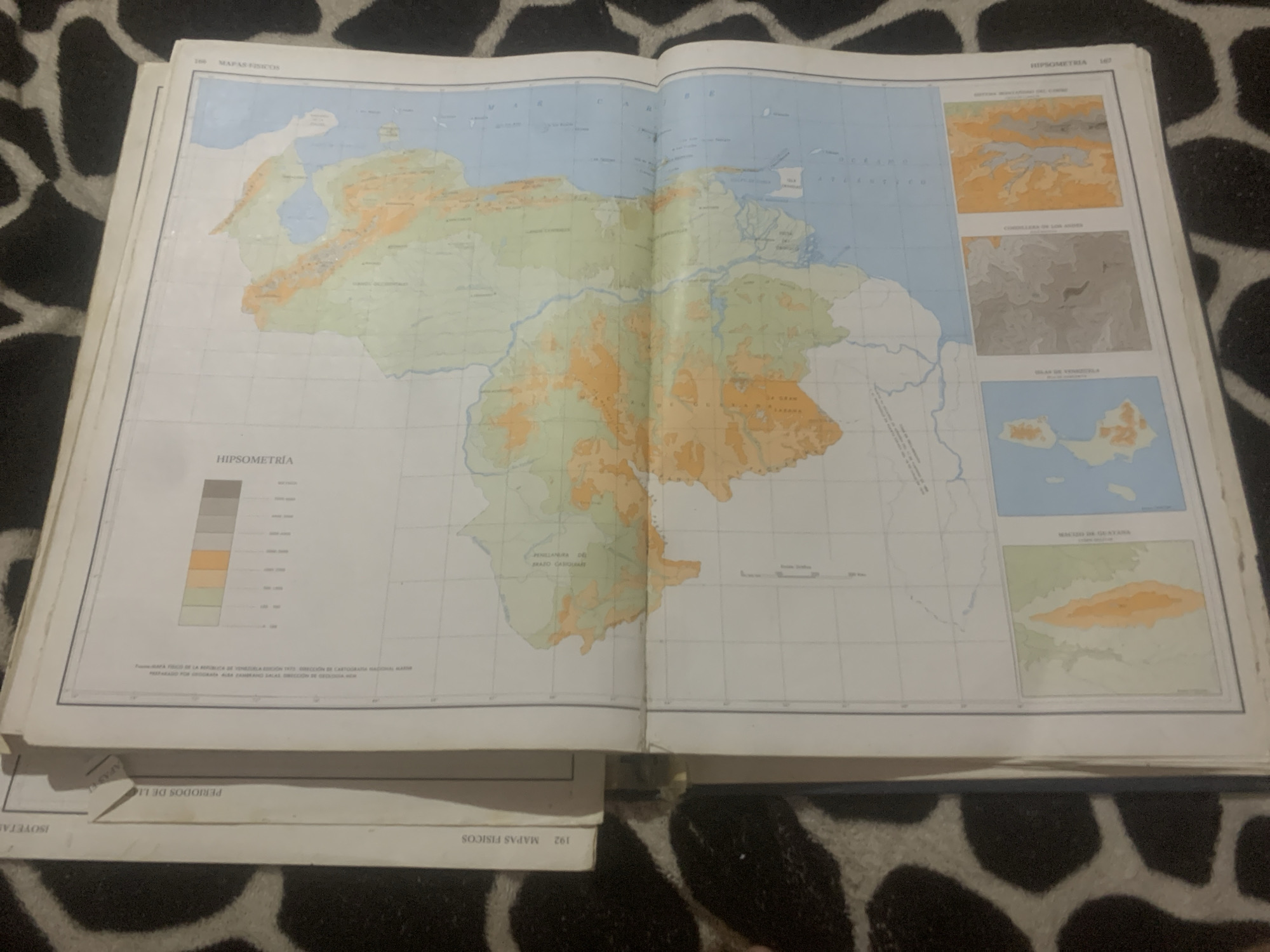
This is a photograph of an open atlas, displaying a two-page spread of maps. The left page features a large map of Venezuela with topographical information indicated by color gradients. A legend for "HIPSOMETRÍA" (Hypsometry) is present on this page, showing different elevation ranges. The right page contains smaller inset maps and some text. One inset map is titled "CORDILLERA DE LOS ANDES" (Andes Mountains), and another is "ISLAS DE VENEZUELA" (Islands of Venezuela). The overall setting appears to be a flat surface, likely a table, with a black and white patterned material beneath the atlas. The atlas is well-lit, suggesting it is indoors or under good lighting conditions. The maps are detailed and appear to be from an older publication, given the style of printing and the mention of "DIRECCIÓN DE CARTOGRAFÍA NACIONAL MAYOR". The visible text includes map titles, legends, and source information. The scene is purely informational, focused on geographical data. No people or specific activities are depicted. The location context provided indicates the maps are of Venezuela, with a specific mention of La Tagua.
Symbol
9D8F3
Volume
0
Creator
+$0.03
Revenue
+$0.00
TVL
$0.00
Loading AttnAds…

2

Rev Bot 🤖💰
Injected revenue 2mo ago
“Revenue bonus for the last stake.”
+$0.06 USD





