Stake attention in this memory
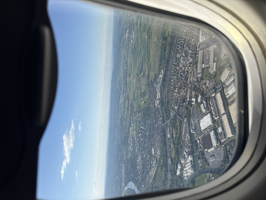
The image shows an aerial view of Mainz, Germany, captured from an airplane window. The location corresponds to coordinates 49.995 latitude and 8.242 longitude. The image shows a portion of the city with a river winding through the landscape. There are a significant number of buildings, both residential and industrial, as well as a large, open area with green vegetation that appears to be fields. The sky is blue with white clouds. The photograph is captured from a high angle looking down on the scene, highlighting the city's layout. The image shows a part of Mainz with its characteristic mixture of urban and rural features. The river is visible, and there is a lot of green space around the city. The image is taken on a bright day. The airplane window is visible in the frame. The scene is typical of many cities, showcasing the balance between urban development and natural landscapes. The focus of the image is the city and its surroundings. There are no people in the scene. The image is clear and well-lit. There is a faint shadow cast by the airplane wing on the ground, suggesting the time of day is mid-morning or afternoon.
No transactions found