
Stake attention in this memory
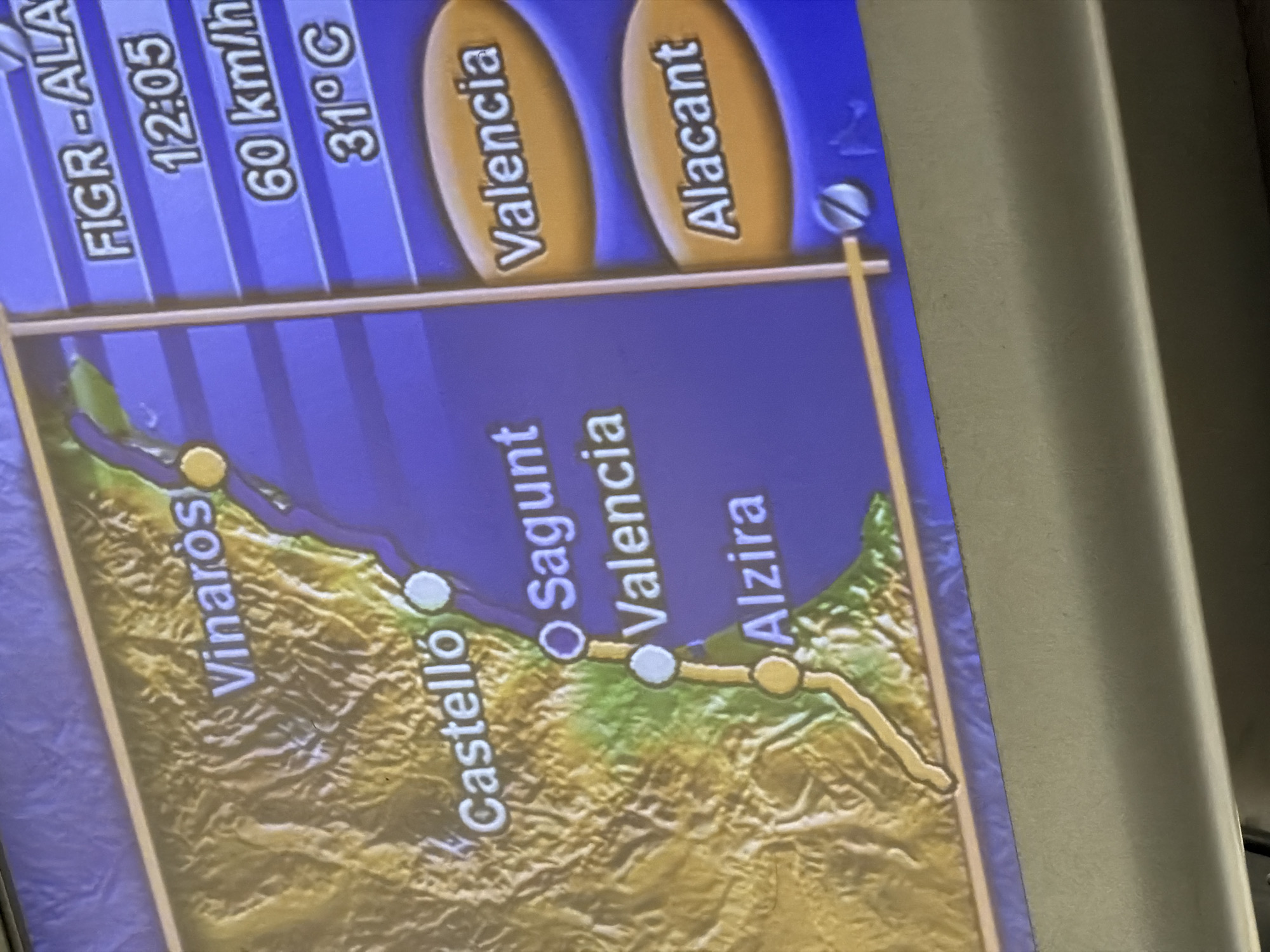
The image displays a digital map on a screen, likely a navigation or travel display. The map shows a coastal region in Spain, with several cities marked along the coast. The cities visible are Vinaròs, Castelló, Sagunt, València, and Alzira. To the right of the map, there is a panel with travel information, including a destination labeled "FIGR - ALA," a time of "12:05," a speed of "60 km/h," and a temperature of "31°C." Below this, there are two oval-shaped buttons or selections labeled "València" and "Alacant." The terrain depicted is mountainous in the inland areas and coastal along the sea. The screen appears to be part of a vehicle's display system. The city of Castelló de la Plana is represented by a marked location on the map, situated south of Vinaròs and north of Sagunt and València, along the coast.
Loading AttnAds…
No transactions found