Sign in
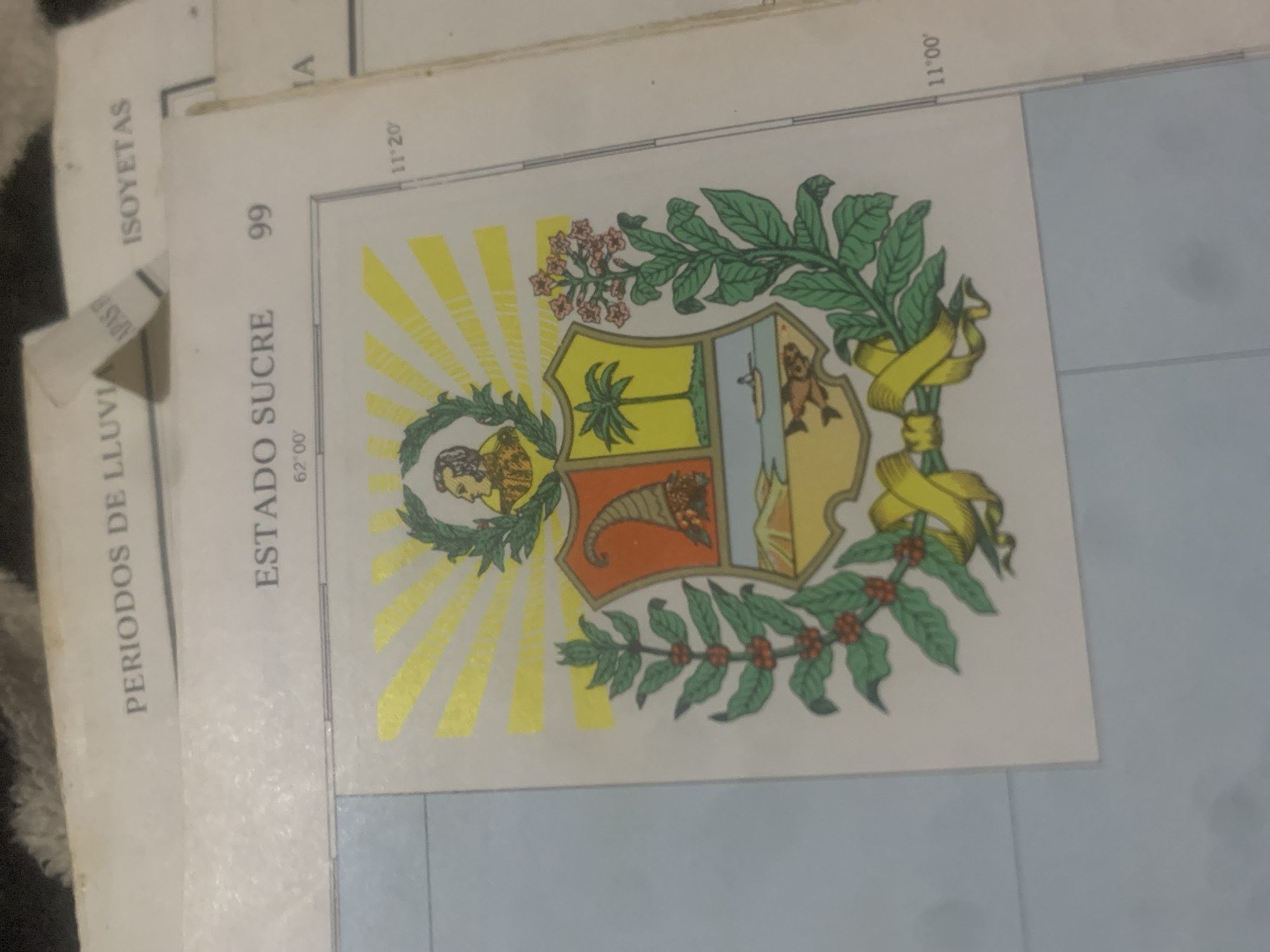
This media file features a close-up, rotated view of a map with a coat of arms on top. The map appears to be a topographical or meteorological chart, indicated by the text "PERIODOS DE LLUVI" (Rainy Periods) and "ISOYETAS" (Isohyets, lines connecting points of equal rainfall). The map also includes latitude and longitude markings, with "11°20" and "11°00'" visible on the right, and "62°00'" visible near the bottom left. The dominant object is a colorful coat of arms, detailed with a sheaf of wheat, a cornucopia spilling fruit, and depictions of a palm tree and what appears to be a river scene with a fish. Green branches with red berries flank the shield, and a yellow ribbon is draped around it. The background of the map is a pale blue, suggesting a body of water or a shaded area on the map. The overall impression is of a document related to geography or environmental studies in Venezuela, likely the Sucre State, as "ESTADO SUCRE" is clearly printed on the map. The lighting suggests an indoor setting, possibly with artificial light, as there are no clear indications of natural lighting conditions like shadows or daylight hues. There are no people or discernible animals in the image, focusing solely on the map and its overlay.
bombolico

Jun 25, 2026, 2:34 PM

La Tagua, Venezuela

Stake attention in this memory

patriotic
nostalgic
formal
proud
historical

This media file features a close-up, rotated view of a map with a coat of arms on top. The map appears to be a topographical or meteorological chart, indicated by the text "PERIODOS DE LLUVI" (Rainy Periods) and "ISOYETAS" (Isohyets, lines connecting points of equal rainfall). The map also includes latitude and longitude markings, with "11°20" and "11°00'" visible on the right, and "62°00'" visible near the bottom left. The dominant object is a colorful coat of arms, detailed with a sheaf of wheat, a cornucopia spilling fruit, and depictions of a palm tree and what appears to be a river scene with a fish. Green branches with red berries flank the shield, and a yellow ribbon is draped around it. The background of the map is a pale blue, suggesting a body of water or a shaded area on the map. The overall impression is of a document related to geography or environmental studies in Venezuela, likely the Sucre State, as "ESTADO SUCRE" is clearly printed on the map. The lighting suggests an indoor setting, possibly with artificial light, as there are no clear indications of natural lighting conditions like shadows or daylight hues. There are no people or discernible animals in the image, focusing solely on the map and its overlay.

Loading AttnAds…

transactions
revenues
stakers
Earliest
Latest
Highest stake

No transactions found

More from this user

More from La Tagua

bombolico

Jun 25, 2026, 2:34 PM

La Tagua, Venezuela

Licensed under Creative Commons Attribution 4.0 International License. You are free to share and adapt this content with proper attribution.



