Sign in
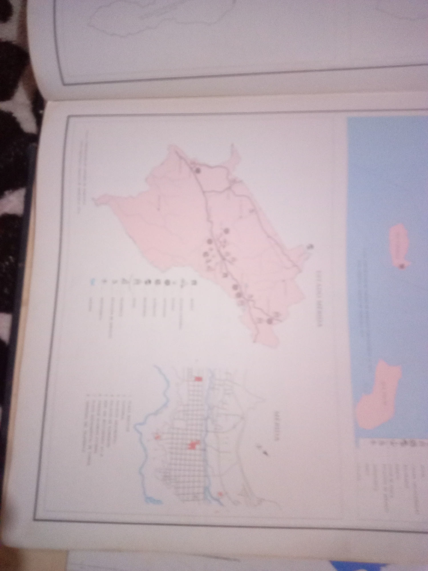
The image is a photograph of an open book displaying two maps. The larger map, positioned at the top, shows a pink-shaded region with various lines representing roads or boundaries, and several small circular markers. To the right of this map is a light blue area of water with two pink-shaded islands. Text in a vertical orientation is visible on the right side of the larger map, appearing to label the region or body of water. The smaller map, located below the larger one, depicts a more detailed representation of a city or town with a grid-like street pattern. This map also includes a winding blue line that might represent a river or coastline, and some red rectangular markers. Text is present in the lower left corner of the image, accompanied by a legend with symbols and lines, likely indicating features on the map. The photograph is taken from a slightly elevated angle, and the focus is on the maps within the book. The context of La Tagua, Venezuela, is not explicitly visible or inferable from the visual elements of the maps themselves, though it is provided as a contextual clue for the description.
Alberto Rodríguez

Jun 10, 2026, 7:00 AM

La Tagua, Venezuela

Short Term

Stake attention in this memory

informative
educational
cartographic
historical
geographical

The image is a photograph of an open book displaying two maps. The larger map, positioned at the top, shows a pink-shaded region with various lines representing roads or boundaries, and several small circular markers. To the right of this map is a light blue area of water with two pink-shaded islands. Text in a vertical orientation is visible on the right side of the larger map, appearing to label the region or body of water. The smaller map, located below the larger one, depicts a more detailed representation of a city or town with a grid-like street pattern. This map also includes a winding blue line that might represent a river or coastline, and some red rectangular markers. Text is present in the lower left corner of the image, accompanied by a legend with symbols and lines, likely indicating features on the map. The photograph is taken from a slightly elevated angle, and the focus is on the maps within the book. The context of La Tagua, Venezuela, is not explicitly visible or inferable from the visual elements of the maps themselves, though it is provided as a contextual clue for the description.

Symbol

9EDBC

Volume

11,550

Creator

+$0.04

Revenue

+$0.06

TVL

$2.88

1D
1W
1M
All

Loading AttnAds…

transactions
revenues
stakers
Earliest
Latest
Highest stake

1

karlyta

Staked 1mo ago

$2.85 USD

+$0.04 USD

+1%

2

Rev Bot 🤖💰

Injected revenue 1mo ago

Revenue bonus for the last stake.

+$0.07 USD

More from this user

More from La Tagua

Alberto Rodríguez

Jun 10, 2026, 7:00 AM

La Tagua, Venezuela

Licensed under Creative Commons Attribution 4.0 International License. You are free to share and adapt this content with proper attribution.