Stake attention in this memory
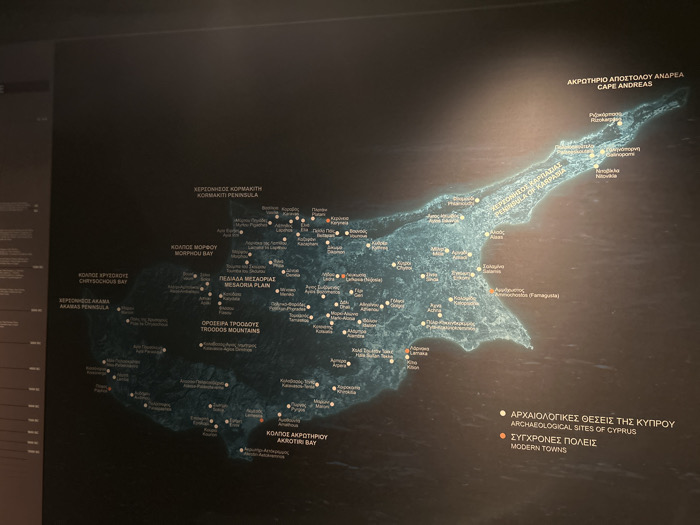
This media file captures a backlit, detailed map of the island of Cyprus displayed on a dark wall, likely within a museum or exhibition setting. The map highlights key geographical features, archaeological sites, and modern towns across the island. The island of Cyprus is depicted in varying shades of blue and green, indicating its topography, against a dark, possibly black or deep gray background. Prominent geographical features are labeled in both Greek and English, including "Kormakiti Peninsula," "Morphou Bay," "Chrysochous Bay," "Akamas Peninsula," "Mesaoria Plain," "Troodos Mountains," "Karpasia Peninsula," "Cape Andreas," and "Akrotiri Bay." Small white dots mark "ARCHAEOLOGICAL SITES OF CYPRUS," while orange dots indicate "MODERN TOWNS," as explained by a legend in the bottom right corner. Examples of labeled locations include "Rizokarpaso," "Gallinoporni," "Nikolika," "Alaas," and "Ammochostos (Famagusta)." Numerous other smaller towns and sites are also marked. The lighting emphasizes the map itself, which glows brightly against the dim surroundings. No human activity is visible, presenting a static informational display. The overall impression is one of an informative exhibit designed for educational purposes. The location context provided is Athina, Greece, suggesting this display about Cyprus is situated in Athens.
No transactions found